|
search place name
|
||
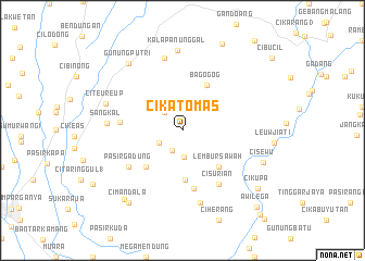
Cikatomas (Indonesia)Cikatomas is a town in Indonesia. An overview map of the region around Cikatomas is displayed below.
regional and 3d topo map of Cikatomas, Indonesia ::
Cikatomas airports ::
The nearest airport is CGK - Jakarta Soekarno Hatta Intl, located 54.1 km north west of Cikatomas.
Nearby towns ::
Nanggerang (2.4km south west) //
Sileuwi (2.6km north west) //
Leuwibilik 1 (2.7km south west) //
Leuwicatang (2.8km south) //
Ciherang Kulon 2 (5.1km south) //
Lembursawah (5.2km south east) //
Campaka (5.2km south west) //
Bagogog (5.3km north east) //
Cibadak (6.1km south) //
Dukuh 1 (6.4km west) //
Cisurian (6.7km south east) //
Pasirgadung (6.7km south west) //
Rasamala (7.6km south) //
Narogong (7.7km north) //
Sangkal (7.8km west) //
Kalapanunggal (8.3km north) //
Citeureup (8.3km west) //
Gunungputri (8.8km north west) //
Cisewu (8.9km east) //
Karangtengah (9.2km south west) //
Leuwigoong (9.2km south west) //
Cimandala (9.2km south west) //
Palasari (9.7km north east) //
Cikupa (9.7km south east) //
Awilega (10.9km south east) //
Kebondanga (11.7km south east) //
[all distances 'as the bird flies' and approximate] 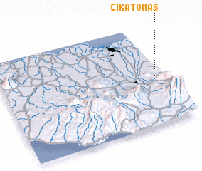 Places with similar names to Cikatomas, Indonesia ::
// Cikatomas (ID)
// Sekodumase (GH)
Disclaimer :: Information on this page comes without warranty of any kind |
||
|
Where is Cikatomas? Elevation and coordinates ::
Latitude (lat): 6°31'0"S Longitude (lon): 106°57'0"E
Elevation (approx.): 443m (map arrows pan, magnifying glasses zoom) |
||
|
Visiting Cikatomas? Hotel/Accommodation ::
Book a hotel in Cikatomas Travel Guide ::
Buy a travel guide for Indonesia rental cars ::
car rental offers GPS waypoint ::
download a GPX waypoint (PoI) of Cikatomas for your GPS receiver
|
||