|
search place name
|
||
Cisalak (Indonesia)Cisalak is a town in Indonesia. An overview map of the region around Cisalak is displayed below.
regional and 3d topo map of Cisalak, Indonesia ::

Cisalak airports ::
The nearest airport is CGK - Jakarta Soekarno Hatta Intl, located 36.2 km north west of Cisalak.
Nearby towns ::
Cimanggis (2.3km south) //
Palsigunung (2.4km north) //
Gandara Dua (4.1km north) //
Depok (4.6km south west) //
Pondokcina (4.8km north west) //
Kampungbaru (5.2km north) //
Kalimanggis (5.3km east) //
Ciracas (5.6km north) //
Kalimati (5.7km north) //
Bendungan (5.8km south) //
Pembilangan (6.1km north) //
Karanggan-kulon (6.3km east) //
Taman Mina (6.5km east) //
Lentangagung (6.8km north west) //
Jagakersa (6.8km north west) //
Kampungutan (7.0km north) //
Cijantung (7.0km north) //
Rawabada (7.0km west) //
Merdika (7.2km north) //
Kelapatiga (7.3km north west) //
Cilodong (7.5km south west) //
Kebagusan (7.6km north) //
Cilangkap (7.9km north east) //
Setu (8.0km north west) //
Wangkal (8.1km north) //
Pasarrebo (8.2km north) //
Pondokgede (8.5km north east) //
Tanjung-barat (8.6km north) //
Tanjung-timur (8.8km north) //
[all distances 'as the bird flies' and approximate] 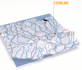 Places with similar names to Cisalak, Indonesia ::
Disclaimer :: Information on this page comes without warranty of any kind |
||
|
Where is Cisalak? Elevation and coordinates ::
Latitude (lat): 6°22'43"S Longitude (lon): 106°51'46"E
Elevation (approx.): 82m (map arrows pan, magnifying glasses zoom) |
||
|
Visiting Cisalak? Hotel/Accommodation ::
Book a hotel in Cisalak Travel Guide ::
Buy a travel guide for Indonesia rental cars ::
car rental offers GPS waypoint ::
download a GPX waypoint (PoI) of Cisalak for your GPS receiver
|
||