|
search place name
|
||
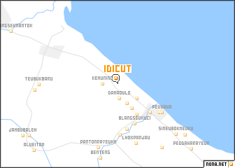
Idicut (Aceh, Indonesia)Idicut is a town in the Aceh region of Indonesia. An overview map of the region around Idicut is displayed below.
regional and 3d topo map of Idicut, Indonesia ::
Idicut airports ::
The nearest airport is MES - Medan Polonia, located 190.4 km south east of Idicut.
Nearby towns ::
Damaoulo (2.3km south) //
Kemuning (2.4km west) //
Bukityuk (3.4km south east) //
Bukitlanga (3.8km south east) //
Gureb (4.4km south east) //
Damaputih (5.8km south east) //
Blangseukuci (6.9km south east) //
Idi (6.9km south east) //
Bukitteukoh (7.3km south) //
Idirayeuk (8.0km south east) //
Keumuning (8.1km south) //
Peudawa (8.4km south east) //
[all distances 'as the bird flies' and approximate] 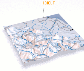 Places with similar names to Idicut, Indonesia ::
// Id Kidda (MA)
// Id Ou Caïd (MA)
// Itokit (RU)
// Itacate (MX)
// Idaikkadu (LK)
// Iddagoda (LK)
// Idakoto (SN)
// Itagata (TZ)
// Iddo Ekiti (NG)
// Itakete (NG)
Disclaimer :: Information on this page comes without warranty of any kind |
||
|
Where is Idicut? Elevation and coordinates ::
Latitude (lat): 4°59'26"N Longitude (lon): 97°43'11"E
Elevation (approx.): 10m (map arrows pan, magnifying glasses zoom) |
||
|
Visiting Idicut? Hotel/Accommodation ::
Book a hotel in Idicut Travel Guide ::
Buy a travel guide for Indonesia rental cars ::
car rental offers GPS waypoint ::
download a GPX waypoint (PoI) of Idicut for your GPS receiver
|
||