|
search place name
|
||
Kalisari (Jawa Timur, Indonesia)Kalisari is a town in the Jawa Timur region of Indonesia. An overview map of the region around Kalisari is displayed below.
regional and 3d topo map of Kalisari, Indonesia ::
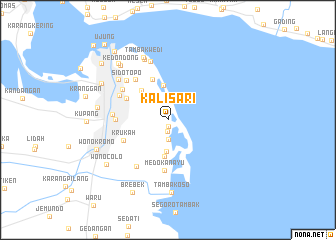
Nearby towns ::
Putihtambak (0.7km south) //
Kejawan (1.3km south) //
Keputih (2.2km south) //
Larangan (3.2km north west) //
Medokan (3.5km south) //
Sukolilo (3.8km north) //
Wonorejo (4.1km south) //
Rangkah (4.4km north west) //
Kenjeran (4.8km north) //
Ngemplak (5.2km north west) //
Krukah (5.4km south west) //
Medokanayu (5.7km south) //
Babatantrosuto (5.8km north west) //
Gubeng (5.8km west) //
Kapasari (6.1km north west) //
Surabaya (6.1km north west) //
Kalirungkut (6.2km south west) //
Simpang (6.2km west) //
Sidotopo (6.4km north west) //
Kedung (6.9km north) //
Ngagel (7.1km north west) //
Kedungcowek (7.2km north) //
Tambakwedi (7.5km north) //
Sawahan (7.9km west) //
Tambakoso (8.1km south) //
Kedondong (8.1km north west) //
Krambangan (8.4km north west) //
Krembangan (8.4km north west) //
Wonocolo (8.5km south west) //
[all distances 'as the bird flies' and approximate] 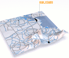 Places with similar names to Kalisari, Indonesia ::
// Kellassaare (EE)
// Këlcyrë (AL)
// Këlcyrë (AL)
// Klisare (BA)
// Klisura (BA)
// Klisura (BA)
// Klisura (BG)
// Căluşeri (RO)
// Kallioozero (RU)
// Kolesur (RU)
Disclaimer :: Information on this page comes without warranty of any kind |
||
|
Where is Kalisari? Elevation and coordinates ::
Latitude (lat): 7°16'26"S Longitude (lon): 112°47'59"E
Elevation (approx.): 1m (map arrows pan, magnifying glasses zoom) |
||
|
Visiting Kalisari? Hotel/Accommodation ::
Book a hotel in Kalisari Travel Guide ::
Buy a travel guide for Indonesia rental cars ::
car rental offers GPS waypoint ::
download a GPX waypoint (PoI) of Kalisari for your GPS receiver
|
||