|
search place name
|
||
Karanggayam (Indonesia)Karanggayam is a town in Indonesia. An overview map of the region around Karanggayam is displayed below.
regional and 3d topo map of Karanggayam, Indonesia ::
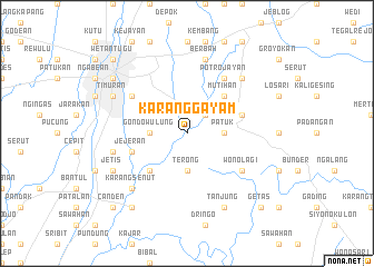
Nearby towns ::
Piyungan (2.6km north east) //
Gondowulung (3.7km west) //
Terong (3.7km south) //
Patuk (3.7km east) //
Segoroyoso (5.2km south west) //
Mutihan (5.2km north east) //
Jejeran (5.8km west) //
Wanujoyo (5.8km east) //
Kotagede (6.6km north west) //
Wonolagi (6.6km south east) //
Potrojayan (6.7km north east) //
Gandok (7.6km west) //
Berbah (7.6km north) //
Sorogedug (7.8km north east) //
Kenaran (7.8km north east) //
Karangsenut (7.8km south west) //
Timuran (8.2km north west) //
Mergangsan (8.2km north west) //
Jetis (8.2km south west) //
Tanjung (8.3km south east) //
Yogyakarta (9.2km north west) //
Sentool (9.2km north west) //
Pakualaman (9.2km north west) //
Imogiri (9.2km south west) //
Klitren (10.4km north west) //
Jetis (10.4km north west) //
Wetantugu (10.4km north west) //
Canden (10.4km south west) //
Getas (10.4km south east) //
[all distances 'as the bird flies' and approximate] 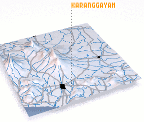 Places with similar names to Karanggayam, Indonesia ::
// Karanggayam (ID)
Disclaimer :: Information on this page comes without warranty of any kind |
||
|
Where is Karanggayam? Elevation and coordinates ::
Latitude (lat): 7°51'0"S Longitude (lon): 110°26'0"E
Elevation (approx.): 70m (map arrows pan, magnifying glasses zoom) |
||
|
Visiting Karanggayam? Hotel/Accommodation ::
Book a hotel in Karanggayam Travel Guide ::
Buy a travel guide for Indonesia rental cars ::
car rental offers GPS waypoint ::
download a GPX waypoint (PoI) of Karanggayam for your GPS receiver
|
||