|
search place name
|
||
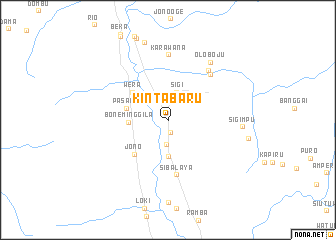
Kintabaru (Sulawesi Tengah, Indonesia)Kintabaru is a town in the Sulawesi Tengah region of Indonesia. An overview map of the region around Kintabaru is displayed below.
regional and 3d topo map of Kintabaru, Indonesia ::
Kintabaru airports ::
The nearest airport is PLW - Palu Mutiara, located 17.7 km north of Kintabaru.
Other airports nearby include PSJ - Poso Kasiguncu (91.5 km south east), Nearby towns ::
Sidondol (1.4km south) //
Lonja (2.7km south) //
Sigi (3.3km north) //
Sibowi (4.0km south) //
Boneminggila (4.4km west) //
Pasaku (4.8km west) //
Wera (5.0km north west) //
Jono (5.4km south west) //
Sibalaya (6.2km south) //
Bora (6.9km north east) //
Watunonju (7.0km north east) //
Karawana (7.2km north) //
Oloboju (8.0km north east) //
Sigimpu (8.4km east) //
Dolo (9.1km north) //
[all distances 'as the bird flies' and approximate] 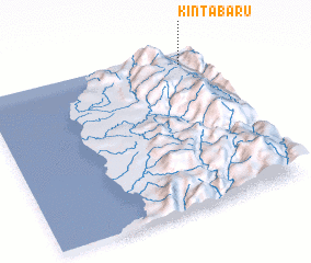 Places with similar names to Kintabaru, Indonesia ::
// Gondbauer (AT)
// Gandāber (BD)
// Kāndābāri (BD)
// Kāntābāri (BD)
// Kontoubarou (BJ)
// Kondoubouéra (BF)
// Kandabor (TD)
// Kondobor (TD)
// Gandiberh (IN)
// Kund Bāra (IN)
Disclaimer :: Information on this page comes without warranty of any kind |
||
|
Where is Kintabaru? Elevation and coordinates ::
Latitude (lat): 1°4'42"S Longitude (lon): 119°54'28"E
Elevation (approx.): 47m (map arrows pan, magnifying glasses zoom) |
||
|
Visiting Kintabaru? Hotel/Accommodation ::
Book a hotel in Kintabaru Travel Guide ::
Buy a travel guide for Indonesia rental cars ::
car rental offers GPS waypoint ::
download a GPX waypoint (PoI) of Kintabaru for your GPS receiver
|
||