|
search place name
|
||
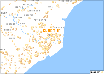
Kubatiin (Nusa Tenggara Timur, Indonesia)Kubatiin is a town in the Nusa Tenggara Timur region of Indonesia. An overview map of the region around Kubatiin is displayed below.
regional and 3d topo map of Kubatiin, Indonesia ::
Kubatiin airports ::
The nearest airport is DIL - Dili Presidente Nicolau Lobato Intl, located 134.5 km north east of Kubatiin.
Nearby towns ::
Laenmota (0.3km north) //
Umakaluak (0.4km north west) //
Toaskiar (0.7km south west) //
Manumutibrubit (0.7km east) //
Sukabilulik (0.8km south) //
Nataraen (0.8km north west) //
Laenhas (0.9km north) //
Lukuloweain 2 (0.9km south west) //
Lakuloweibon (1.0km west) //
Laento (1.1km south east) //
Manubai Timur (1.1km north east) //
Manubai Barat (1.2km north) //
Leorai (1.2km south) //
Lukuloweain 1 (1.2km west) //
Busabelo (1.2km south east) //
Airae (1.2km south) //
Airae (1.3km south) //
Lelor (1.3km north east) //
Leorae (1.4km south) //
Leorae (1.4km south west) //
Laentasi (1.5km north east) //
Pelita B (1.5km north east) //
Kobadiin (1.5km west) //
Pelita A (1.7km north east) //
Maneken (1.7km east) //
Makoar (1.7km west) //
Akalaran (1.8km west) //
Weaian (1.8km north west) //
Merobo (1.8km south) //
[all distances 'as the bird flies' and approximate] 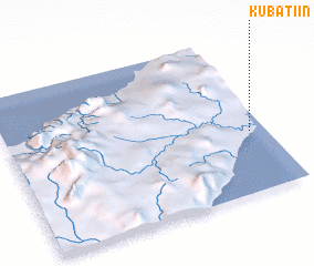 Places with similar names to Kubatiin, Indonesia ::
Disclaimer :: Information on this page comes without warranty of any kind |
||
|
Where is Kubatiin? Elevation and coordinates ::
Latitude (lat): 9°36'53"S Longitude (lon): 124°56'22"E
Elevation (approx.): 9m (map arrows pan, magnifying glasses zoom) |
||
|
Visiting Kubatiin? Hotel/Accommodation ::
Book a hotel in Kubatiin Travel Guide ::
Buy a travel guide for Indonesia rental cars ::
car rental offers GPS waypoint ::
download a GPX waypoint (PoI) of Kubatiin for your GPS receiver
|
||