|
search place name
|
||
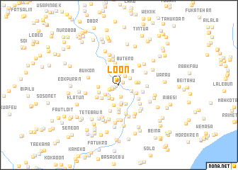
Loon (Nusa Tenggara Timur, Indonesia)Loon is a town in the Nusa Tenggara Timur region of Indonesia. An overview map of the region around Loon is displayed below.
regional and 3d topo map of Loon, Indonesia ::
Loon airports ::
The nearest airport is DIL - Dili Presidente Nicolau Lobato Intl, located 119.6 km north east of Loon.
Nearby towns ::
Areo (0.5km south west) //
Kakuun (0.7km north east) //
Oekabiti (0.8km south west) //
Fatubea (1.2km west) //
Oemanu (1.2km south west) //
Maan (1.4km south west) //
Maubesi (1.6km north east) //
Sitrua (1.7km north) //
Oesuri (1.7km south west) //
Nakreu (1.8km south) //
Seon (2.0km north east) //
Babahane (2.2km south east) //
Pasi (2.3km north) //
Loonous (2.3km south west) //
Kuletok (2.4km south west) //
Hanan (2.4km south west) //
Motamanas (2.7km south west) //
Matamanas 1 (2.7km south west) //
Tuaniu (2.7km north) //
Wemeda (2.7km east) //
Askino (2.8km south) //
Tuaninu (2.9km north west) //
Boki (3.0km south east) //
Falumasin (3.0km east) //
Sonaf (3.1km south) //
Rafau (3.2km south) //
Butero (3.3km north) //
Baunaba (3.3km south) //
Lootateu (3.3km west) //
[all distances 'as the bird flies' and approximate] 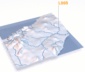 Places with similar names to Loon, Indonesia ::
Disclaimer :: Information on this page comes without warranty of any kind |
||
|
Where is Loon? Elevation and coordinates ::
Latitude (lat): 9°25'31"S Longitude (lon): 124°53'27"E
Elevation (approx.): 320m (map arrows pan, magnifying glasses zoom) |
||
|
Visiting Loon? Hotel/Accommodation ::
Book a hotel in Loon Travel Guide ::
Buy a travel guide for Indonesia rental cars ::
car rental offers GPS waypoint ::
download a GPX waypoint (PoI) of Loon for your GPS receiver
|
||