|
search place name
|
||
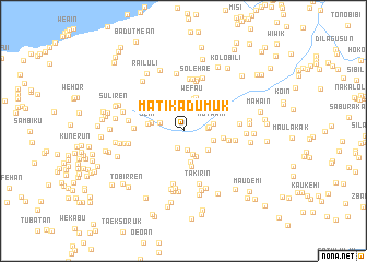
Matikadumuk (Nusa Tenggara Timur, Indonesia)Matikadumuk is a town in the Nusa Tenggara Timur region of Indonesia. An overview map of the region around Matikadumuk is displayed below.
regional and 3d topo map of Matikadumuk, Indonesia ::
Matikadumuk airports ::
The nearest airport is DIL - Dili Presidente Nicolau Lobato Intl, located 82.6 km north east of Matikadumuk.
Nearby towns ::
Oeleu (1.8km south) //
Koinsukun (2.0km south) //
Besakren (2.5km east) //
Asulait (2.5km west) //
Tunumau (2.6km south) //
Kotaren (2.6km east) //
Tunumau (2.9km south east) //
Motaain (3.1km east) //
Wefia (3.1km east) //
Duamone (3.2km south east) //
Boe (3.3km south) //
Fatubesi (3.3km west) //
Wefau (3.4km north) //
Wefau (3.7km north) //
Sehi (3.7km west) //
Nobelu (3.7km south) //
Maneikun (4.1km east) //
Beikoti (4.7km east) //
Kopan (5.0km west) //
Sukaren (5.2km north) //
Futatas (5.4km north) //
Weklese (5.4km north) //
Ailomea (5.3km east) //
Solehae (5.5km north) //
Kedauktetuk (5.5km south) //
Takirin (5.7km south) //
Sadi (5.6km west) //
Srani (5.7km west) //
Takrabat (5.7km east) //
[all distances 'as the bird flies' and approximate] 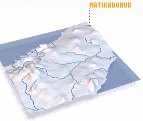 Places with similar names to Matikadumuk, Indonesia :: Disclaimer :: Information on this page comes without warranty of any kind |
||
|
Where is Matikadumuk? Elevation and coordinates ::
Latitude (lat): 9°4'16"S Longitude (lon): 124°59'23"E
Elevation (approx.): 318m (map arrows pan, magnifying glasses zoom) |
||
|
Visiting Matikadumuk? Hotel/Accommodation ::
Book a hotel in Matikadumuk Travel Guide ::
Buy a travel guide for Indonesia rental cars ::
car rental offers GPS waypoint ::
download a GPX waypoint (PoI) of Matikadumuk for your GPS receiver
|
||