|
search place name
|
||
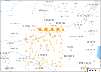
Mojokemuning (Jawa Timur, Indonesia)Mojokemuning is a town in the Jawa Timur region of Indonesia. An overview map of the region around Mojokemuning is displayed below.
regional and 3d topo map of Mojokemuning, Indonesia ::
Nearby towns ::
Kemasan (0.9km east) //
Sidorangu (1.0km north) //
Ponokawan (1.3km east) //
Krian (1.4km south) //
Tempel (1.5km north) //
Kasak (1.6km east) //
Patukpulo (1.7km west) //
Sidogolong (1.7km north east) //
Jeruk (1.9km south) //
Pasinanlemahputih (2.0km north west) //
Legundi (2.1km north west) //
Katerungan (2.3km south) //
Gamping Tengah (2.3km south east) //
Larangan (2.3km north) //
Kemangsen Selatan (2.4km south west) //
Sidotompo (2.5km west) //
Pilangbangu (2.5km south west) //
Melati (2.5km west) //
Barengkrajan (2.6km north east) //
Terik (2.7km south east) //
Sirapan (2.8km south west) //
Terung Kulon (2.8km east) //
Bareng (2.9km north east) //
Wadang (3.0km north east) //
Mijen (3.1km south) //
Bantengan (3.3km north east) //
Cere (3.4km south east) //
Jeruklegi (3.4km west) //
Tropodo (3.4km south) //
[all distances 'as the bird flies' and approximate] 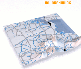 Places with similar names to Mojokemuning, Indonesia :: Disclaimer :: Information on this page comes without warranty of any kind |
||
|
Where is Mojokemuning? Elevation and coordinates ::
Latitude (lat): 7°23'55"S Longitude (lon): 112°35'6"E
Elevation (approx.): 16m (map arrows pan, magnifying glasses zoom) |
||
|
Visiting Mojokemuning? Hotel/Accommodation ::
Book a hotel in Mojokemuning Travel Guide ::
Buy a travel guide for Indonesia rental cars ::
car rental offers GPS waypoint ::
download a GPX waypoint (PoI) of Mojokemuning for your GPS receiver
|
||