|
search place name
|
||
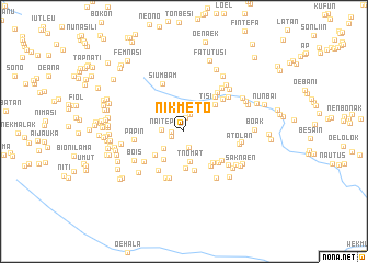
Nikmeto (Nusa Tenggara Timur, Indonesia)Nikmeto is a town in the Nusa Tenggara Timur region of Indonesia. An overview map of the region around Nikmeto is displayed below.
regional and 3d topo map of Nikmeto, Indonesia ::
Nikmeto airports ::
The nearest airport is DIL - Dili Presidente Nicolau Lobato Intl, located 146.8 km north east of Nikmeto.
Nearby towns ::
Tatan (1.3km west) //
Bestobe (1.4km north) //
Hobea (1.4km west) //
Usapibena (1.7km south) //
Tuamau (1.8km north) //
Naitep (2.3km west) //
Nitbane (2.5km north) //
Nenu (2.7km south west) //
Maubesi (2.9km north east) //
Bikoe (2.9km north east) //
Tnomat (3.1km south) //
Tisi (3.5km north east) //
Suspini (3.5km south west) //
Usapikolen (3.7km south west) //
Usapipukan (3.8km south) //
Usapinonnot (4.1km south) //
Buitbuit (4.2km north east) //
Saknati (4.3km south east) //
Haususu (4.5km south east) //
Baat (4.7km south east) //
Naen (4.7km south west) //
Sobe (4.7km north east) //
Kuanik (4.8km south east) //
Boenmes (5.0km south) //
Lulu (5.0km south west) //
Banamlaat (5.1km south) //
Bibase (5.1km north east) //
Papin (5.1km west) //
Tainmetan (5.2km north east) //
[all distances 'as the bird flies' and approximate] 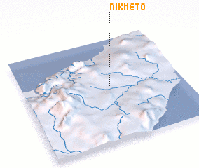 Places with similar names to Nikmeto, Indonesia ::
Disclaimer :: Information on this page comes without warranty of any kind |
||
|
Where is Nikmeto? Elevation and coordinates ::
Latitude (lat): 9°27'19"S Longitude (lon): 124°33'6"E
Elevation (approx.): 576m (map arrows pan, magnifying glasses zoom) |
||
|
Visiting Nikmeto? Hotel/Accommodation ::
Book a hotel in Nikmeto Travel Guide ::
Buy a travel guide for Indonesia rental cars ::
car rental offers GPS waypoint ::
download a GPX waypoint (PoI) of Nikmeto for your GPS receiver
|
||