|
search place name
|
||
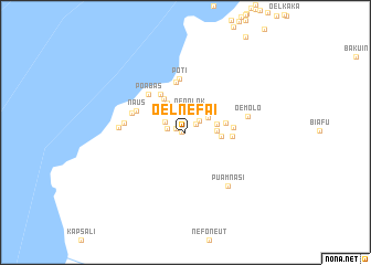
Oelnefai (Nusa Tenggara Timur, Indonesia)Oelnefai is a town in the Nusa Tenggara Timur region of Indonesia. An overview map of the region around Oelnefai is displayed below.
regional and 3d topo map of Oelnefai, Indonesia ::
Oelnefai airports ::
The nearest airport is DIL - Dili Presidente Nicolau Lobato Intl, located 224.7 km north east of Oelnefai.
Nearby towns ::
Naisano Satu (0.4km west) //
Naisano Dua (1.0km north west) //
Teun (1.3km north east) //
Oelabu (1.8km north east) //
Fatuknap (1.9km west) //
Nununapa (2.3km north west) //
Oenolok (2.4km north) //
Fatuluki (2.7km north east) //
Bisifo (3.1km east) //
Bisofo (3.2km east) //
Hunael (3.4km north west) //
Oelanisa (3.6km east) //
Manufui (4.1km north west) //
Ikmel (4.1km east) //
Naekim (4.6km north west) //
Lionae (4.6km east) //
Bakulun (4.8km east) //
Soliu (5.1km north) //
Poabas (5.3km north west) //
Poti (5.4km north) //
Naus (5.4km north west) //
Bibe (5.6km west) //
Tabun (6.2km west) //
Oemolo (6.5km east) //
Enusnaten (6.7km west) //
Puamnasi (6.8km south east) //
[all distances 'as the bird flies' and approximate] 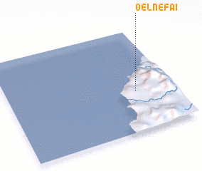 Places with similar names to Oelnefai, Indonesia ::
Disclaimer :: Information on this page comes without warranty of any kind |
||
|
Where is Oelnefai? Elevation and coordinates ::
Latitude (lat): 9°36'6"S Longitude (lon): 123°46'42"E
Elevation (approx.): 81m (map arrows pan, magnifying glasses zoom) |
||
|
Visiting Oelnefai? Hotel/Accommodation ::
Book a hotel in Oelnefai Travel Guide ::
Buy a travel guide for Indonesia rental cars ::
car rental offers GPS waypoint ::
download a GPX waypoint (PoI) of Oelnefai for your GPS receiver
|
||