|
search place name
|
||
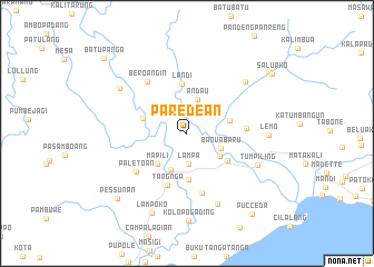
Paredean (Sulawesi Selatan, Indonesia)Paredean is a town in the Sulawesi Selatan region of Indonesia. An overview map of the region around Paredean is displayed below.
regional and 3d topo map of Paredean, Indonesia ::
Paredean airports ::
The nearest airport is UPG - Ujung Pandang Hasanuddin, located 191.4 km south of Paredean.
Other airports nearby include PSJ - Poso Kasiguncu (271.9 km north east), Nearby towns ::
Lampa (3.1km south) //
Andau (3.6km north) //
Tondogalung (3.6km north east) //
Banuabaru (3.7km south east) //
Bonra (4.0km south west) //
Sidodadi (4.0km south east) //
Mapili (4.2km south west) //
Pussepang (4.5km east) //
Lampatua (4.6km south) //
Lena (4.6km west) //
Wonomulyo (4.9km south east) //
Landi (5.0km north) //
Tangnga (5.5km south) //
Batutaka (6.0km east) //
Tanga (6.2km south) //
Paletoan (6.3km south west) //
Beroangin (6.5km north west) //
Simbang (7.7km south east) //
Takaturung (7.8km north east) //
Tumpiling (7.8km south east) //
Sukuterasing (8.1km north west) //
Lemo (8.2km east) //
Lampoko (8.7km south west) //
Kolopogading (8.8km south) //
Pessunan (9.6km south west) //
Lapeya (10.3km north east) //
Pucceda (10.4km south east) //
Saluako (10.4km north east) //
Batupanga (11.2km north west) //
[all distances 'as the bird flies' and approximate] 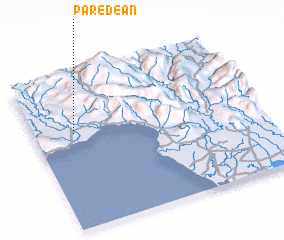 Places with similar names to Paredean, Indonesia ::
Disclaimer :: Information on this page comes without warranty of any kind |
||
|
Where is Paredean? Elevation and coordinates ::
Latitude (lat): 3°22'22"S Longitude (lon): 119°10'36"E
Elevation (approx.): 15m (map arrows pan, magnifying glasses zoom) |
||
|
Visiting Paredean? Hotel/Accommodation ::
Book a hotel in Paredean Travel Guide ::
Buy a travel guide for Indonesia rental cars ::
car rental offers GPS waypoint ::
download a GPX waypoint (PoI) of Paredean for your GPS receiver
|
||