|
search place name
|
||
Payaman (Indonesia)Payaman is a town in Indonesia. An overview map of the region around Payaman is displayed below.
regional and 3d topo map of Payaman, Indonesia ::
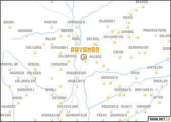
Nearby towns ::
Kuwaluhan (0.0km north) //
Pucang (2.4km east) //
Semalen (2.6km north west) //
Kalibening (3.7km west) //
Pirikan (4.0km east) //
Kedungsari (4.1km south west) //
Pare (4.1km north west) //
Secang (4.1km north east) //
Krincing (4.3km north east) //
Ngadirejo (5.2km east) //
Candiroio (5.8km west) //
Magelang (5.9km south) //
Nguwet (5.9km north) //
Windusari (5.8km west) //
Tegalrejo (6.4km south east) //
Badran (6.7km north west) //
Wonosuko (7.1km south east) //
Cokro (7.4km east) //
Kayuparing (7.6km north east) //
Kranggan (7.6km north) //
Bandongan (7.8km south west) //
Tembarak (7.8km north west) //
Tonoboyo (8.2km south west) //
Bulan (8.2km north west) //
Pringsurat (8.8km north east) //
Rejosari (9.0km north east) //
Pasekan (9.2km south east) //
Candimulyo (9.4km south east) //
Candiumbul (9.5km north east) //
[all distances 'as the bird flies' and approximate] 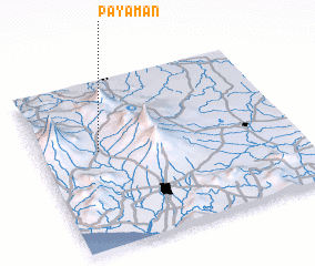 Places with similar names to Payaman, Indonesia ::
// Payamönü (TR)
// P'aeyŏm-ni (KP)
Disclaimer :: Information on this page comes without warranty of any kind |
||
|
Where is Payaman? Elevation and coordinates ::
Latitude (lat): 7°25'0"S Longitude (lon): 110°14'0"E
Elevation (approx.): 415m (map arrows pan, magnifying glasses zoom) |
||
|
Visiting Payaman? Hotel/Accommodation ::
Book a hotel in Payaman Travel Guide ::
Buy a travel guide for Indonesia rental cars ::
car rental offers GPS waypoint ::
download a GPX waypoint (PoI) of Payaman for your GPS receiver
|
||