|
search place name
|
||
Penggaron (Indonesia)Penggaron is a town in Indonesia. An overview map of the region around Penggaron is displayed below.
regional and 3d topo map of Penggaron, Indonesia ::
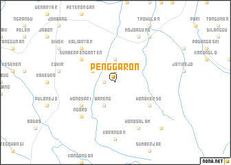
Nearby towns ::
Mojoduwur (1.9km north) //
Mojoroto (1.8km west) //
Selorejo (3.7km north) //
Mojowarno (4.1km north west) //
Bareng (4.1km south west) //
Sumberpenganten (6.6km north west) //
Wonokerso (6.6km south east) //
Wonosari (6.6km south west) //
Kertorejo (6.6km south west) //
Ngoro (7.8km south west) //
Kalianyar (7.8km north west) //
Mojoagung (8.3km north east) //
Wonosalam (8.3km south east) //
Tukum (8.3km south east) //
Bejijong (9.2km north east) //
Segunung (10.4km south east) //
[all distances 'as the bird flies' and approximate] 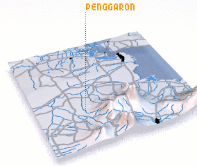 Places with similar names to Penggaron, Indonesia ::
// Peña Cuerna (ES)
// Piney Green (US)
// Piney Green (US)
// Panacaran (ID)
// Pancuran (ID)
// Pancuran (ID)
// Pancuran (ID)
// Pengaron (ID)
// Penggaron (ID)
// Pankronu (GH)
Disclaimer :: Information on this page comes without warranty of any kind |
||
|
Where is Penggaron? Elevation and coordinates ::
Latitude (lat): 7°38'0"S Longitude (lon): 112°19'0"E
Elevation (approx.): 59m (map arrows pan, magnifying glasses zoom) |
||
|
Visiting Penggaron? Hotel/Accommodation ::
Book a hotel in Penggaron Travel Guide ::
Buy a travel guide for Indonesia rental cars ::
car rental offers GPS waypoint ::
download a GPX waypoint (PoI) of Penggaron for your GPS receiver
|
||