|
search place name
|
||
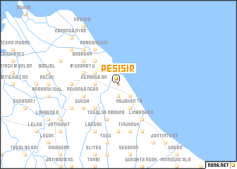
Pesisir (Indonesia)Pesisir is a town in Indonesia. An overview map of the region around Pesisir is displayed below.
regional and 3d topo map of Pesisir, Indonesia ::
Pesisir airports ::
The nearest airport is CGK - Jakarta Soekarno Hatta Intl, located 190.9 km west of Pesisir.
Nearby towns ::
Tegalurung (0.0km north) //
Sukaurip (1.9km south) //
Sukaparna (2.6km south east) //
Balongan (2.6km south east) //
Purwareja (2.6km south east) //
Singaraja (3.7km west) //
Kepandean (3.7km west) //
Majakerta (4.1km south east) //
Lemahabang (4.1km north west) //
Song (5.2km north west) //
Glarmendala (5.2km south west) //
Kenanga (5.8km west) //
Pekandangan (5.8km west) //
Indramayu (5.8km west) //
Tegalsembadra (5.9km south) //
Babadan (6.7km north west) //
Paoman (6.7km north west) //
Dukuh (6.7km south west) //
Limbangan (6.7km south east) //
Pabean-udik (6.7km north west) //
Terusan (7.4km west) //
Sudimampir (7.4km south) //
Tinumpuk (7.6km south) //
Pagirikan (7.8km north west) //
Telukagung (8.2km south west) //
Sindang (8.2km south west) //
Lombang (8.3km south east) //
Longok (8.3km south west) //
Pasekan (9.2km north west) //
[all distances 'as the bird flies' and approximate] 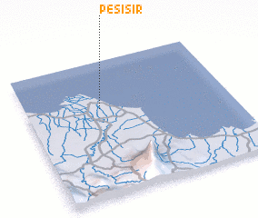 Places with similar names to Pesisir, Indonesia ::
Disclaimer :: Information on this page comes without warranty of any kind |
||
|
Where is Pesisir? Elevation and coordinates ::
Latitude (lat): 6°21'0"S Longitude (lon): 108°22'0"E
Elevation (approx.): 7m (map arrows pan, magnifying glasses zoom) |
||
|
Visiting Pesisir? Hotel/Accommodation ::
Book a hotel in Pesisir Travel Guide ::
Buy a travel guide for Indonesia rental cars ::
car rental offers GPS waypoint ::
download a GPX waypoint (PoI) of Pesisir for your GPS receiver
|
||