|
search place name
|
||
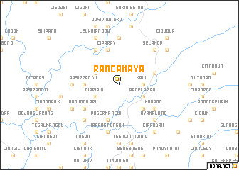
Rancamaya (Indonesia)Rancamaya is a town in Indonesia. An overview map of the region around Rancamaya is displayed below.
regional and 3d topo map of Rancamaya, Indonesia ::
Rancamaya airports ::
The nearest airport is CGK - Jakarta Soekarno Hatta Intl, located 128.6 km north of Rancamaya.
Nearby towns ::
Kaum (3.7km east) //
Ciaripin (4.1km south west) //
Cimenteng (4.1km north west) //
Pagelaran (4.1km south east) //
Cilumut (5.2km south east) //
Pasirrandu (5.5km west) //
Ciparay (5.9km north) //
Pagermaneuh (5.9km south) //
Pangadegan (5.8km east) //
Cinangka (6.7km north west) //
Gunungwaru (6.6km south west) //
Kubang (6.6km south east) //
Citalahab (7.4km west) //
Cibogo (7.4km north) //
Karangtengah (7.6km south) //
Kadupandak (7.8km south west) //
Nyamplong (7.8km south east) //
Selakopi (7.8km north east) //
Leuwimanggu (8.3km north west) //
Cipetir (8.2km south west) //
Cibacang (9.2km north east) //
Cipandak (9.2km south east) //
Cigugup (10.4km north east) //
[all distances 'as the bird flies' and approximate] 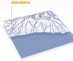 Places with similar names to Rancamaya, Indonesia :: Disclaimer :: Information on this page comes without warranty of any kind |
||
|
Where is Rancamaya? Elevation and coordinates ::
Latitude (lat): 7°12'0"S Longitude (lon): 107°6'0"E
Elevation (approx.): 477m (map arrows pan, magnifying glasses zoom) |
||
|
Visiting Rancamaya? Hotel/Accommodation ::
Book a hotel in Rancamaya Travel Guide ::
Buy a travel guide for Indonesia rental cars ::
car rental offers GPS waypoint ::
download a GPX waypoint (PoI) of Rancamaya for your GPS receiver
|
||