|
search place name
|
||
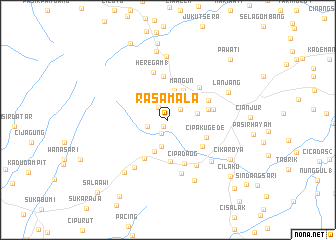
Rasamala (Indonesia)Rasamala is a town in Indonesia. An overview map of the region around Rasamala is displayed below.
regional and 3d topo map of Rasamala, Indonesia ::
Rasamala airports ::
The nearest airport is CGK - Jakarta Soekarno Hatta Intl, located 89.2 km north west of Rasamala.
Nearby towns ::
Kaliastana (0.8km south west) //
Padakati (1.7km south west) //
Pasirlujumpang (1.7km north west) //
Balandongan (1.8km north east) //
Tegallega (2.4km west) //
Sammpat (2.6km north) //
Barumpu (3.0km south) //
Jenggung (3.3km east) //
Bajabang (3.3km north) //
Mangun (3.8km north east) //
Songgom 1 (3.8km south) //
Gombong (4.6km south) //
Panembong (4.7km east) //
Cipaku-gede (4.7km south east) //
Cipadang (4.8km south east) //
Nyalindung (4.9km north) //
Cugenang (4.9km north east) //
Pameungpeuk (5.0km north east) //
Gekbrong (5.1km south west) //
Cipadagg (5.2km south) //
Cibulakan (5.2km east) //
Heregam 1 (5.5km north) //
Warungkondang (5.9km south east) //
Cikancana (6.1km south) //
Cimangkok (6.5km south west) //
Sarampal (6.7km south east) //
Panjaweujan (7.0km north) //
Cisaroni (7.3km south east) //
Lanjang (7.3km north east) //
[all distances 'as the bird flies' and approximate] 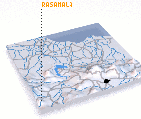 Places with similar names to Rasamala, Indonesia ::
Disclaimer :: Information on this page comes without warranty of any kind |
||
|
Where is Rasamala? Elevation and coordinates ::
Latitude (lat): 6°49'37"S Longitude (lon): 107°3'15"E
Elevation (approx.): 881m (map arrows pan, magnifying glasses zoom) |
||
|
Visiting Rasamala? Hotel/Accommodation ::
Book a hotel in Rasamala Travel Guide ::
Buy a travel guide for Indonesia rental cars ::
car rental offers GPS waypoint ::
download a GPX waypoint (PoI) of Rasamala for your GPS receiver
|
||