|
search place name
|
||
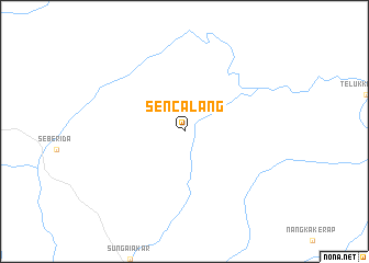
Sencalang (Indonesia)Sencalang is a town in Indonesia. An overview map of the region around Sencalang is displayed below.
regional and 3d topo map of Sencalang, Indonesia ::
Sencalang airports ::
The nearest airport is RGT - Rengat Japura, located 50.8 km north west of Sencalang.
Other airports nearby include DJB - Jambi Sultan Thaha (153.0 km south east), PKU - Pekanbaru Sultan Syarif Kasim Ii (184.4 km north west), Nearby towns ::
[all distances 'as the bird flies' and approximate] 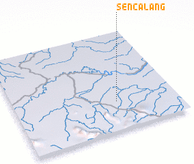 Places with similar names to Sencalang, Indonesia ::
// Sainglaing (MM)
// Sanglang (MM)
// Senglung (MM)
// Songlong (MM)
// Sanglang (MY)
// Zawngling (IN)
// Sankalang (GM)
// Xinglong (CN)
// Xinglong'ao (CN)
// Hsing-lung (TW)
Disclaimer :: Information on this page comes without warranty of any kind |
||
|
Where is Sencalang? Elevation and coordinates ::
Latitude (lat): 0°42'0"S Longitude (lon): 102°38'0"E
Elevation (approx.): 18m (map arrows pan, magnifying glasses zoom) |
||
|
Visiting Sencalang? Hotel/Accommodation ::
Book a hotel in Sencalang Travel Guide ::
Buy a travel guide for Indonesia rental cars ::
car rental offers GPS waypoint ::
download a GPX waypoint (PoI) of Sencalang for your GPS receiver
|
||