|
search place name
|
||
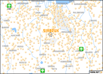
Simbruk (Indonesia)Simbruk is a town in Indonesia. An overview map of the region around Simbruk is displayed below.
regional and 3d topo map of Simbruk, Indonesia ::
Simbruk airports ::
The nearest airport is CGK - Jakarta Soekarno Hatta Intl, located 18.8 km north west of Simbruk.
Nearby towns ::
Kebonnanas (0.7km west) //
Manggamonyetkebayuran (0.7km north east) //
Senayan (1.0km east) //
Jati (1.1km south west) //
Gunung (1.3km south west) //
Grogol-hilir (1.4km north) //
Juraganan (1.5km north west) //
Petunduhan (1.6km north east) //
Bendungan (1.6km north east) //
Kebayoran-Baru (1.7km south) //
Mampang (1.7km north east) //
Grogol-udik (1.8km west) //
Kebayoran (1.9km south west) //
Tanahkoja (1.9km north west) //
Cidodol (2.2km west) //
Kebonklapajepang (2.3km north) //
Rawabelong (2.4km north west) //
Cipuh (2.4km west) //
Pecandran (2.5km east) //
Kemandoran (2.5km north) //
Sukabumi (2.5km north west) //
Kebon Jeruk (2.7km north) //
Pelatetogogan (2.7km south) //
Peninggaran (2.8km south west) //
Karetpasarbaru (2.8km east) //
Gandaria-utara (2.8km south) //
Kembangan (3.0km north) //
Suteng (3.0km north west) //
Gangtengah (3.0km north) //
[all distances 'as the bird flies' and approximate] 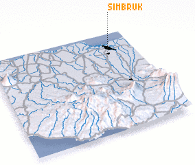 Places with similar names to Simbruk, Indonesia ::
Disclaimer :: Information on this page comes without warranty of any kind |
||
|
Where is Simbruk? Elevation and coordinates ::
Latitude (lat): 6°13'35"S Longitude (lon): 106°47'35"E
Elevation (approx.): 20m (map arrows pan, magnifying glasses zoom) |
||
|
Visiting Simbruk? Hotel/Accommodation ::
Book a hotel in Simbruk Travel Guide ::
Buy a travel guide for Indonesia rental cars ::
car rental offers GPS waypoint ::
download a GPX waypoint (PoI) of Simbruk for your GPS receiver
|
||