|
search place name
|
||
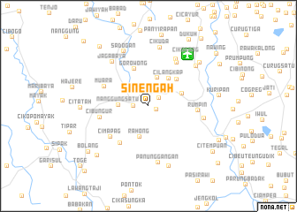
Sinengah (Indonesia)Sinengah is a town in Indonesia. An overview map of the region around Sinengah is displayed below.
regional and 3d topo map of Sinengah, Indonesia ::
Sinengah airports ::
The nearest airport is CGK - Jakarta Soekarno Hatta Intl, located 34.9 km north of Sinengah.
Nearby towns ::
Pasirkapong (1.1km south east) //
Bantarpanjang (1.6km north east) //
Ngaled (1.9km west) //
Dago Tengah (3.8km north) //
Nanggung Satu (3.8km west) //
Rahong (4.1km south) //
Cilangkap (4.3km north east) //
Ciaul (4.5km east) //
Pernang (4.9km north east) //
Gorowong (5.0km north) //
Bojang (5.9km south west) //
Muara (6.1km north west) //
Cimapag (6.2km south west) //
Rumpin (6.3km east) //
Cibungur (6.3km west) //
Cikandang (6.5km north east) //
Parigi (6.8km north east) //
Sawah (7.1km east) //
Jagabaya (7.2km north west) //
Panunggangan (7.3km south) //
Sadogan (7.5km north west) //
Cikuda (7.6km north) //
Peusa (7.8km north east) //
Cikodang (7.9km north east) //
Cilangkap (8.0km south) //
Cilangkap (8.4km north east) //
Citatah (8.5km west) //
Raganis (8.9km south west) //
Kuripan (8.9km east) //
[all distances 'as the bird flies' and approximate] 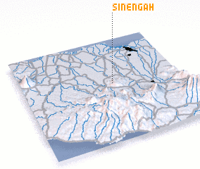 Places with similar names to Sinengah, Indonesia ::
Disclaimer :: Information on this page comes without warranty of any kind |
||
|
Where is Sinengah? Elevation and coordinates ::
Latitude (lat): 6°25'53"S Longitude (lon): 106°34'37"E
Elevation (approx.): 79m (map arrows pan, magnifying glasses zoom) |
||
|
Visiting Sinengah? Hotel/Accommodation ::
Book a hotel in Sinengah Travel Guide ::
Buy a travel guide for Indonesia rental cars ::
car rental offers GPS waypoint ::
download a GPX waypoint (PoI) of Sinengah for your GPS receiver
|
||