|
search place name
|
||
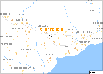
Sumberurip (Sulawesi Selatan, Indonesia)Sumberurip is a town in the Sulawesi Selatan region of Indonesia. An overview map of the region around Sumberurip is displayed below.
regional and 3d topo map of Sumberurip, Indonesia ::
Sumberurip airports ::
The nearest airport is PSJ - Poso Kasiguncu, located 134.2 km north of Sumberurip.
Other airports nearby include PLW - Palu Mutiara (201.8 km north), Nearby towns ::
Tulungrejo (0.5km north) //
Sidomakmur (1.1km south west) //
Tirtaagung (1.5km south east) //
Tanahtako (2.1km south east) //
Pambasean (2.3km north) //
Teluklangsa (2.5km east) //
Siderejo (2.6km north west) //
Patila (3.0km north east) //
Banyuurip (3.1km north west) //
Sukaraya (3.4km south west) //
Cintamulya (3.8km south west) //
Rampoang (4.0km south east) //
Bonebone (4.1km north west) //
Sumberdadi (4.5km east) //
Tamuku (4.6km south west) //
Sadar (4.7km south west) //
Pateai (5.4km east) //
Minna (5.6km east) //
Coppabattatana (7.5km south west) //
Marobo (7.6km south) //
Kapipe (7.6km east) //
Munte (7.7km south east) //
Kuluri (7.8km east) //
Karondang (7.9km south east) //
Beringin (7.9km east) //
Masollo (8.1km south east) //
Tamboke (8.1km west) //
Harapan (8.4km west) //
Tolangi (8.5km west) //
[all distances 'as the bird flies' and approximate] 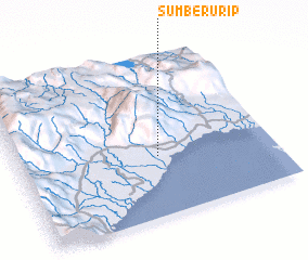 Places with similar names to Sumberurip, Indonesia ::
// Samúrrerap (CO)
Disclaimer :: Information on this page comes without warranty of any kind |
||
|
Where is Sumberurip? Elevation and coordinates ::
Latitude (lat): 2°37'33"S Longitude (lon): 120°32'59"E
Elevation (approx.): 6m (map arrows pan, magnifying glasses zoom) |
||
|
Visiting Sumberurip? Hotel/Accommodation ::
Book a hotel in Sumberurip Travel Guide ::
Buy a travel guide for Indonesia rental cars ::
car rental offers GPS waypoint ::
download a GPX waypoint (PoI) of Sumberurip for your GPS receiver
|
||