|
search place name
|
||
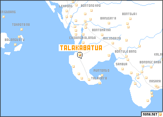
Talakabatua (Sulawesi Selatan, Indonesia)Talakabatua is a town in the Sulawesi Selatan region of Indonesia. An overview map of the region around Talakabatua is displayed below.
regional and 3d topo map of Talakabatua, Indonesia ::
Talakabatua airports ::
The nearest airport is UPG - Ujung Pandang Hasanuddin, located 55.9 km north of Talakabatua.
Nearby towns ::
Junggoa (1.7km north) //
Malelalaya (2.5km south west) //
Batulateang (3.0km north east) //
Salambu (3.6km south) //
Cikoangbalanda (3.7km north) //
Tamalala (4.5km south) //
Laikang (5.2km south) //
Bontosanging (5.5km north) //
Topejawa (5.6km north) //
Puntondo (6.1km south east) //
Sappang (6.4km east) //
Lamangkia (6.6km north) //
Talakaya (7.0km south east) //
Bontomanai (7.2km north east) //
Kaponrengang (7.2km north) //
Turungan (7.5km north) //
Lengkese (8.0km north) //
Buludoang (8.0km north east) //
Mangadu (8.6km north) //
Banggae (8.7km north) //
Tamanroya (9.1km east) //
Barugaya (10.3km north east) //
[all distances 'as the bird flies' and approximate] 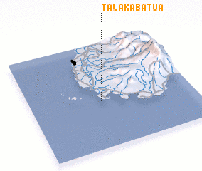 Places with similar names to Talakabatua, Indonesia ::
// Telaga Batu (MY)
// Dallākābād (IR)
// Delkābād (IR)
// Ţalāqābād (IR)
// Telkābād (IR)
// Tolkābād (IR)
Disclaimer :: Information on this page comes without warranty of any kind |
||
|
Where is Talakabatua? Elevation and coordinates ::
Latitude (lat): 5°33'16"S Longitude (lon): 119°26'24"E
Elevation (approx.): 19m (map arrows pan, magnifying glasses zoom) |
||
|
Visiting Talakabatua? Hotel/Accommodation ::
Book a hotel in Talakabatua Travel Guide ::
Buy a travel guide for Indonesia rental cars ::
car rental offers GPS waypoint ::
download a GPX waypoint (PoI) of Talakabatua for your GPS receiver
|
||