|
search place name
|
||
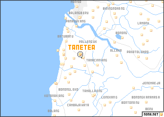
Tanetea (Sulawesi Selatan, Indonesia)Tanetea is a town in the Sulawesi Selatan region of Indonesia. An overview map of the region around Tanetea is displayed below.
regional and 3d topo map of Tanetea, Indonesia ::
Tanetea airports ::
The nearest airport is UPG - Ujung Pandang Hasanuddin, located 27.3 km north east of Tanetea.
Nearby towns ::
Bontododia (0.3km north east) //
Cambaya (1.7km south) //
Moncobalang (1.8km west) //
Bontomanai (2.0km north) //
Bontobaddo (3.0km south west) //
Pallenguk (3.1km north east) //
Tallaborong (3.3km south west) //
Soreang 2 (3.7km west) //
Limbung (3.8km south east) //
Tamacinnang (3.8km south east) //
Bontolanra (3.9km north west) //
Bontolebang (4.2km west) //
Soreang (4.3km west) //
Batebalak (4.4km south west) //
Kalongkong (4.4km west) //
Sampelungang (4.6km north west) //
Borongcela (4.9km west) //
Batubaru (5.4km north west) //
Aengbatubatu (5.8km west) //
Kampungberu (5.9km south west) //
Mario (6.2km south west) //
Barongbong (6.9km north west) //
Panakukang (7.5km north) //
Palukangang (7.7km north west) //
Allaka (8.0km east) //
Galesong (8.2km south west) //
Palalakang (8.3km south west) //
Pakato (8.3km north east) //
Bontobotoa (8.5km north east) //
[all distances 'as the bird flies' and approximate] 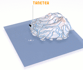 Places with similar names to Tanetea, Indonesia ::
Disclaimer :: Information on this page comes without warranty of any kind |
||
|
Where is Tanetea? Elevation and coordinates ::
Latitude (lat): 5°16'0"S Longitude (lon): 119°25'0"E
Elevation (approx.): 17m (map arrows pan, magnifying glasses zoom) |
||
|
Visiting Tanetea? Hotel/Accommodation ::
Book a hotel in Tanetea Travel Guide ::
Buy a travel guide for Indonesia rental cars ::
car rental offers GPS waypoint ::
download a GPX waypoint (PoI) of Tanetea for your GPS receiver
|
||