|
search place name
|
||
Tembelingan (Jawa Tengah, Indonesia)Tembelingan is a town in the Jawa Tengah region of Indonesia. An overview map of the region around Tembelingan is displayed below.
regional and 3d topo map of Tembelingan, Indonesia ::
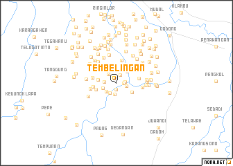
Nearby towns ::
Brebes (1.0km south) //
Glagan (1.1km east) //
Ngroto (1.4km north east) //
Ginggangsantri (1.4km east) //
Kembanggading (1.6km east) //
Nangkluk Lor (1.8km south) //
Kuniran (1.9km north west) //
Ngrawing (1.9km west) //
Wates (2.0km south west) //
Bendono (2.1km south west) //
Pancuran (2.3km west) //
Jeketro Lor (2.5km north east) //
Ngambak (2.9km west) //
Condrogeni (2.9km south east) //
Ploso (3.0km north west) //
Saban (3.1km north east) //
Gajahmati (3.4km west) //
Banyusumurup (3.7km east) //
Mlilir Dua (3.8km north) //
Kebonagung (3.8km west) //
Tungu (3.8km north east) //
Kapung (3.9km west) //
Nganten (4.2km east) //
Kaliceret (4.3km west) //
Jabansari (4.5km north west) //
Kunjeng (4.6km north west) //
Papan (4.7km north) //
Bogor (4.7km east) //
Latak (4.8km north east) //
[all distances 'as the bird flies' and approximate] 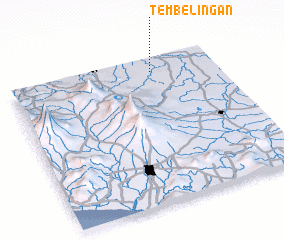 Places with similar names to Tembelingan, Indonesia ::
// Tumlin Wykień (PL)
// Tambelangan (ID)
Disclaimer :: Information on this page comes without warranty of any kind |
||
|
Where is Tembelingan? Elevation and coordinates ::
Latitude (lat): 7°6'8"S Longitude (lon): 110°41'22"E
Elevation (approx.): 25m (map arrows pan, magnifying glasses zoom) |
||
|
Visiting Tembelingan? Hotel/Accommodation ::
Book a hotel in Tembelingan Travel Guide ::
Buy a travel guide for Indonesia rental cars ::
car rental offers GPS waypoint ::
download a GPX waypoint (PoI) of Tembelingan for your GPS receiver
|
||