|
search place name
|
||
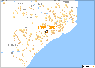
Tosslaran (Nusa Tenggara Timur, Indonesia)Tosslaran is a town in the Nusa Tenggara Timur region of Indonesia. An overview map of the region around Tosslaran is displayed below.
regional and 3d topo map of Tosslaran, Indonesia ::
Tosslaran airports ::
The nearest airport is DIL - Dili Presidente Nicolau Lobato Intl, located 144.1 km north east of Tosslaran.
Nearby towns ::
Leofoun (0.3km north) //
Wekfau (0.7km south) //
Halibasar (0.7km north west) //
Laenlutuodamatan (1.0km north) //
Fatunesun (1.0km west) //
Laenfahi (1.5km south) //
Wemean (1.5km east) //
Tubaslaran (1.5km east) //
Wemean (1.5km east) //
Tubaslaran (1.6km east) //
Kotabone (1.6km north west) //
Loomotatasea (1.7km north) //
Webriamata (1.8km south west) //
Sukaermaten (1.8km west) //
Loe (1.8km south) //
Lainkadalak (1.9km east) //
Kakauk (2.0km east) //
Kakauk (2.0km east) //
Lainkadalak (2.0km east) //
Klobor (2.2km south west) //
Makatar (2.2km north) //
Batetenularan (2.2km east) //
Klisuk (2.3km south) //
Loofounbateti (2.3km north east) //
Halimalaka (2.3km east) //
Lakulokadalak (2.3km north) //
Loofounbateti (2.3km north east) //
Kotafounbone (2.4km north west) //
Bonelaran (2.4km east) //
[all distances 'as the bird flies' and approximate] 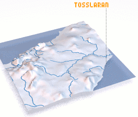 Places with similar names to Tosslaran, Indonesia ::
// Dos Leron (HT)
Disclaimer :: Information on this page comes without warranty of any kind |
||
|
Where is Tosslaran? Elevation and coordinates ::
Latitude (lat): 9°40'36"S Longitude (lon): 124°52'18"E
Elevation (approx.): 12m (map arrows pan, magnifying glasses zoom) |
||
|
Visiting Tosslaran? Hotel/Accommodation ::
Book a hotel in Tosslaran Travel Guide ::
Buy a travel guide for Indonesia rental cars ::
car rental offers GPS waypoint ::
download a GPX waypoint (PoI) of Tosslaran for your GPS receiver
|
||