|
search place name
|
||
Trayem (Indonesia)Trayem is a town in Indonesia. An overview map of the region around Trayem is displayed below.
regional and 3d topo map of Trayem, Indonesia ::
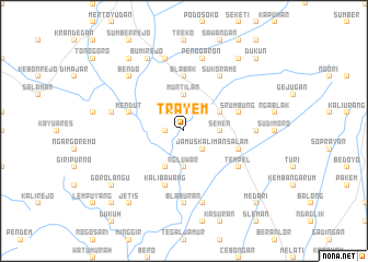
Nearby towns ::
Tanayung (1.8km west) //
Jamus-kaliman (2.6km south east) //
Drumoyo (3.7km east) //
Semen (3.7km east) //
Ngluwar (3.7km south) //
Keptekan (3.7km north) //
Muntilan (3.7km north) //
Tegalsari (4.1km north east) //
Klangon (4.1km south west) //
Blabak (5.6km north) //
Salam (5.8km east) //
Borobudur (5.8km west) //
Srumbung (5.8km east) //
Mendut (5.8km west) //
Kalibawang (5.9km south) //
Sukorame (6.7km north east) //
Tempel (6.6km south east) //
Blaburan (7.4km south) //
Klegung (7.3km east) //
Gendol (7.6km south) //
Penggaron (7.6km north) //
Sekatonan (7.6km west) //
Mungkit (7.6km north) //
Bendo (7.8km north west) //
Bumirejo (8.3km north west) //
Jetis (9.2km south west) //
Blondo (9.2km north west) //
Dempo (9.2km north east) //
Gorolangu (9.2km south west) //
[all distances 'as the bird flies' and approximate] 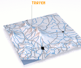
Disclaimer :: Information on this page comes without warranty of any kind |
||
|
Where is Trayem? Elevation and coordinates ::
Latitude (lat): 7°37'0"S Longitude (lon): 110°16'0"E
Elevation (approx.): 262m (map arrows pan, magnifying glasses zoom) |
||
|
Visiting Trayem? Hotel/Accommodation ::
Book a hotel in Trayem Travel Guide ::
Buy a travel guide for Indonesia rental cars ::
car rental offers GPS waypoint ::
download a GPX waypoint (PoI) of Trayem for your GPS receiver
|
||