|
search place name
|
||
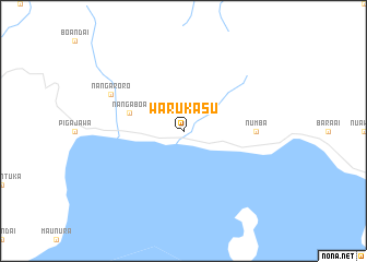
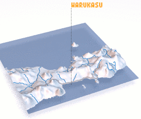
Warukasu (Indonesia)Warukasu is a town in Indonesia. An overview map of the region around Warukasu is displayed below.
regional and 3d topo map of Warukasu, Indonesia ::
Nearby towns ::
 Places with similar names to Warukasu, Indonesia ::
Disclaimer :: Information on this page comes without warranty of any kind |
||
|
Where is Warukasu? Elevation and coordinates ::
Latitude (lat): 8°48'0"S Longitude (lon): 121°28'0"E
Elevation (approx.): -32768m (map arrows pan, magnifying glasses zoom) |
||
|
Visiting Warukasu? Hotel/Accommodation ::
Book a hotel in Warukasu Travel Guide ::
Buy a travel guide for Indonesia rental cars ::
car rental offers GPS waypoint ::
download a GPX waypoint (PoI) of Warukasu for your GPS receiver
|
||