|
search place name
|
||
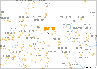
Wedare (Nusa Tenggara Timur, Indonesia)Wedare is a town in the Nusa Tenggara Timur region of Indonesia. An overview map of the region around Wedare is displayed below.
regional and 3d topo map of Wedare, Indonesia ::
Wedare airports ::
The nearest airport is DIL - Dili Presidente Nicolau Lobato Intl, located 101.7 km north east of Wedare.
Nearby towns ::
Lahoan (1.4km east) //
Laktutus (1.8km east) //
Wekmotis (2.2km north west) //
Debutalaik (2.6km north east) //
Auren (2.7km east) //
Horak (2.7km north east) //
Wekmotis (2.7km west) //
Hedanfehan (2.7km north west) //
Derokoan (3.0km north east) //
Weklalenok (3.2km south) //
Fatumalakan (3.2km north west) //
Nunukfehan (3.3km north east) //
Fatukiikkile (3.4km south west) //
Halikotafoun (3.7km south west) //
Halirein (4.2km south) //
Pakwirus (4.3km south east) //
Mahar (4.3km south) //
Auhun (4.4km north west) //
Haliwain (4.4km south west) //
Tubaki (4.6km south) //
Nanaenoe (4.6km south east) //
Manekiik (4.8km north east) //
Manekiik (4.8km north east) //
Manehat (4.8km south west) //
Taliflan (5.0km west) //
Rotiren (5.2km north west) //
Fatubanae (5.3km south east) //
Weoan (5.5km south east) //
Laninis (5.7km west) //
[all distances 'as the bird flies' and approximate] 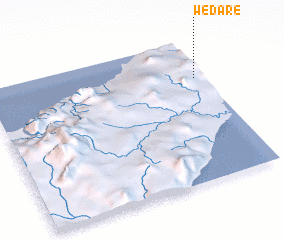 Places with similar names to Wedare, Indonesia ::
Disclaimer :: Information on this page comes without warranty of any kind |
||
|
Where is Wedare? Elevation and coordinates ::
Latitude (lat): 9°16'27"S Longitude (lon): 124°57'33"E
Elevation (approx.): 801m (map arrows pan, magnifying glasses zoom) |
||
|
Visiting Wedare? Hotel/Accommodation ::
Book a hotel in Wedare Travel Guide ::
Buy a travel guide for Indonesia rental cars ::
car rental offers GPS waypoint ::
download a GPX waypoint (PoI) of Wedare for your GPS receiver
|
||