|
search place name
|
||
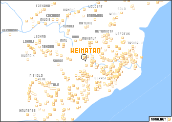
Weimatan (Nusa Tenggara Timur, Indonesia)Weimatan is a town in the Nusa Tenggara Timur region of Indonesia. An overview map of the region around Weimatan is displayed below.
regional and 3d topo map of Weimatan, Indonesia ::
Weimatan airports ::
The nearest airport is DIL - Dili Presidente Nicolau Lobato Intl, located 139.0 km north east of Weimatan.
Nearby towns ::
Weliman (0.9km south) //
Umaau (1.1km north) //
Kleseleon B (1.2km east) //
Bualaran (1.3km east) //
Kleseleon A (1.4km east) //
Wekaser (1.5km south east) //
Wekaser (1.6km south east) //
Kuloleon (1.6km east) //
Bekkali (1.7km north east) //
Haitimuk (1.8km north) //
Wehasan (1.9km east) //
Kotafoun (2.0km north) //
Klobor (2.2km south) //
Haslaran (2.5km south) //
Lookmi (2.5km east) //
Kleik (2.6km south east) //
Berika (2.6km south west) //
Lookmi (2.6km east) //
Kleik (2.6km south east) //
Laenkrawa (2.8km south) //
Kakait (2.9km south) //
Umaklaran (3.0km south) //
Atokama (3.1km north east) //
Kabukalaran (3.3km south) //
Angkaes (3.4km north east) //
Bualaran (3.4km east) //
Umalortoos (3.5km south) //
Kakeoktuik (3.5km south) //
Beklaran (3.4km north east) //
[all distances 'as the bird flies' and approximate] 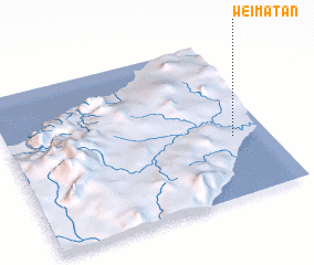 Places with similar names to Weimatan, Indonesia ::
// Waimatenui (NZ)
// Wamitin (ID)
// Womatne (PG)
// Wamba Town (LR)
// Woma Town (LR)
// Ywamaton (MM)
// Wamiaodian (CN)
Disclaimer :: Information on this page comes without warranty of any kind |
||
|
Where is Weimatan? Elevation and coordinates ::
Latitude (lat): 9°37'11"S Longitude (lon): 124°51'58"E
Elevation (approx.): 27m (map arrows pan, magnifying glasses zoom) |
||
|
Visiting Weimatan? Hotel/Accommodation ::
Book a hotel in Weimatan Travel Guide ::
Buy a travel guide for Indonesia rental cars ::
car rental offers GPS waypoint ::
download a GPX waypoint (PoI) of Weimatan for your GPS receiver
|
||