|
search place name
|
||
Dongelek (Kökshetaū, Kazakhstan)Dongelek is a town in the Kökshetaū region of Kazakhstan. An overview map of the region around Dongelek is displayed below.
regional and 3d topo map of Dongelek, Kazakhstan ::

Dongelek airports ::
The nearest airport is PWQ - Pavlodar, located 62.7 km north west of Dongelek.
Nearby towns ::
Karakazy (6.0km north) //
[all distances 'as the bird flies' and approximate] 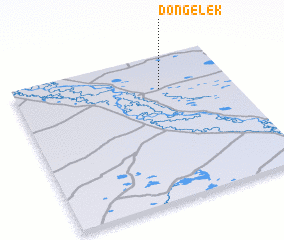 Places with similar names to Dongelek, Kazakhstan ::
// Tengelic (HU)
// Donja Lučka (BA)
// Donja Luka (BA)
// Donje Luko (BA)
// Donji Lug (BA)
// Donji Lug (BA)
// Dongelek (KZ)
// Tang-e Ālak (IR)
// Dona Jalloke (PK)
// Tangilig (PH)
Disclaimer :: Information on this page comes without warranty of any kind |
||
|
Where is Dongelek? Elevation and coordinates ::
Latitude (lat): 51°46'0"N Longitude (lon): 77°40'0"E
Elevation (approx.): 146m (map arrows pan, magnifying glasses zoom) |
||
|
Visiting Dongelek? Hotel/Accommodation ::
Book a hotel in Dongelek Travel Guide ::
Buy a travel guide for Kazakhstan rental cars ::
car rental offers GPS waypoint ::
download a GPX waypoint (PoI) of Dongelek for your GPS receiver
|
||