|
search place name
|
||
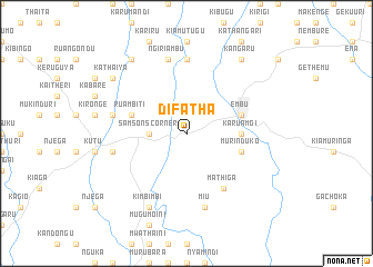
Difatha (Central, Kenya)Difatha is a town in the Central region of Kenya. An overview map of the region around Difatha is displayed below.
regional and 3d topo map of Difatha, Kenya ::
Difatha airports ::
The nearest airport is WIL - Nairobi Wilson, located 107.3 km south west of Difatha.
Nearby towns ::
Samsons Corner (3.7km west) //
Karuamgi (5.6km east) //
Ruambiti (5.9km west) //
Murinduko (5.9km east) //
Embu (5.9km east) //
Matakari (5.9km east) //
Mathiga (6.7km south east) //
Mbiri (7.4km north) //
Gakuo (7.6km west) //
Rukenya (7.6km west) //
Miu (7.6km south) //
Ngiriambu (7.6km north) //
Kimbimbi (8.3km south west) //
Kianyaga (9.3km north west) //
Kagongo (9.3km north west) //
Kathaiya (9.3km north west) //
Kangaru (9.3km north east) //
[all distances 'as the bird flies' and approximate] 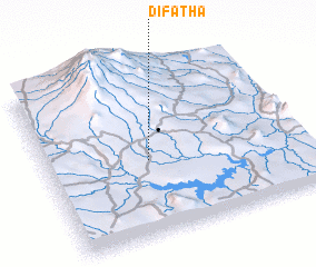 Places with similar names to Difatha, Kenya ::
// Tuvutha (FJ)
Disclaimer :: Information on this page comes without warranty of any kind |
||
|
Where is Difatha? Elevation and coordinates ::
Latitude (lat): 0°33'0"S Longitude (lon): 37°24'0"E
Elevation (approx.): 1351m (map arrows pan, magnifying glasses zoom) |
||
|
Visiting Difatha? Hotel/Accommodation ::
Book a hotel in Difatha Travel Guide ::
Buy a travel guide for Kenya rental cars ::
car rental offers GPS waypoint ::
download a GPX waypoint (PoI) of Difatha for your GPS receiver
|
||