|
search place name
|
||
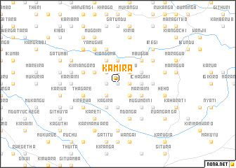
Kamira (Central, Kenya)Kamira is a town in the Central region of Kenya. An overview map of the region around Kamira is displayed below.
regional and 3d topo map of Kamira, Kenya ::
Kamira airports ::
The nearest airport is WIL - Nairobi Wilson, located 61.7 km south west of Kamira.
Other airports nearby include EDL - Eldoret Intl (242.6 km north west), Nearby towns ::
Njora (0.0km north) //
Kiahiti (1.9km west) //
Muthithi (1.9km west) //
Gikomora (1.9km west) //
Kiriti (1.9km north) //
Kaharo (1.9km north) //
Ichagaki (1.9km east) //
Thuita (2.6km south west) //
Thamara (2.6km south east) //
Gathera (2.6km north west) //
Itaga (2.6km north west) //
Gathigio (2.6km north east) //
Kirundu (2.6km north east) //
Githima (3.7km south) //
Githembe (3.7km south) //
Ichagaki (3.7km east) //
Gikunguru (3.7km north) //
Mariaini (4.1km south east) //
Nyagachugu (4.1km north west) //
Kagira (4.1km south west) //
Kirimaini (4.1km north east) //
Kiangoma (4.1km north west) //
Mugumoini (5.2km south east) //
Mbugua (5.2km north east) //
Ihigaini (5.2km north east) //
Gichugu (5.6km east) //
Githima (5.9km west) //
Thagare (5.9km west) //
Kiiriangoro (5.9km west) //
[all distances 'as the bird flies' and approximate] 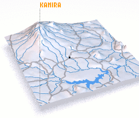 Places with similar names to Kamira, Kenya ::
Disclaimer :: Information on this page comes without warranty of any kind |
||
|
Where is Kamira? Elevation and coordinates ::
Latitude (lat): 0°49'0"S Longitude (lon): 37°3'0"E
Elevation (approx.): 1567m (map arrows pan, magnifying glasses zoom) |
||
|
Visiting Kamira? Hotel/Accommodation ::
Book a hotel in Kamira Travel Guide ::
Buy a travel guide for Kenya rental cars ::
car rental offers GPS waypoint ::
download a GPX waypoint (PoI) of Kamira for your GPS receiver
|
||