|
search place name
|
||
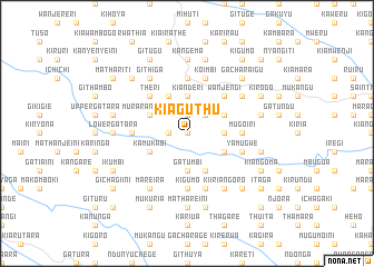
Kiaguthu (Central, Kenya)Kiaguthu is a town in the Central region of Kenya. An overview map of the region around Kiaguthu is displayed below.
regional and 3d topo map of Kiaguthu, Kenya ::
Kiaguthu airports ::
The nearest airport is WIL - Nairobi Wilson, located 65.4 km south of Kiaguthu.
Other airports nearby include EDL - Eldoret Intl (230.8 km north west), Nearby towns ::
Kagaa (0.0km north) //
Kiboi (0.0km north) //
Kaganda (1.9km west) //
Gatuya (1.9km north) //
Kahithe (2.6km north east) //
Kariara (2.6km north east) //
Gatumbi (3.7km south) //
Kianderi (3.7km north) //
Kahuro (3.7km east) //
Gachocho (4.1km south east) //
Gatangara (4.1km north west) //
Kagumo (4.1km north east) //
Ihinga (4.1km south east) //
Murarandia One (4.1km north west) //
Kamukabi (4.1km south west) //
Wanjengi (5.2km north east) //
Theri (5.2km north west) //
Gathaithi (5.6km west) //
Kaharo (5.6km west) //
Kigumo (5.6km south) //
Gitweku (5.6km north) //
Iriguini (5.6km south) //
Kahuti (5.6km north) //
Mugoiri (5.6km east) //
Kandegenye (5.6km east) //
Kiumba (5.6km east) //
Koimbi (5.9km north) //
Kiangunyi (5.9km north) //
Marumi (5.9km south) //
[all distances 'as the bird flies' and approximate] 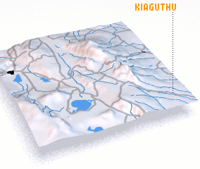
Disclaimer :: Information on this page comes without warranty of any kind |
||
|
Where is Kiaguthu? Elevation and coordinates ::
Latitude (lat): 0°45'0"S Longitude (lon): 36°58'0"E
Elevation (approx.): 1747m (map arrows pan, magnifying glasses zoom) |
||
|
Visiting Kiaguthu? Hotel/Accommodation ::
Book a hotel in Kiaguthu Travel Guide ::
Buy a travel guide for Kenya rental cars ::
car rental offers GPS waypoint ::
download a GPX waypoint (PoI) of Kiaguthu for your GPS receiver
|
||