|
search place name
|
||
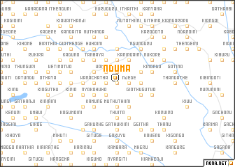
Nduma (Central, Kenya)Nduma is a town in the Central region of Kenya. An overview map of the region around Nduma is displayed below.
regional and 3d topo map of Nduma, Kenya ::
Nduma airports ::
The nearest airport is WIL - Nairobi Wilson, located 87.5 km south of Nduma.
Other airports nearby include EDL - Eldoret Intl (228.4 km north west), Nearby towns ::
Thunguri (0.0km north) //
Gikondi (1.9km west) //
Gachirero (1.9km north) //
Kiangoma (1.9km east) //
Njege (1.9km east) //
Kamuchoni (2.6km south west) //
Kiawamurathe (2.6km south west) //
Kiamurathe (2.6km south west) //
Wamutitu (2.6km north west) //
Mirundu (2.6km north west) //
Kiawamururu (2.6km north west) //
Kagarii (3.7km west) //
Wamachatha (3.7km west) //
Muthuthiini (3.7km south) //
Karundu (3.7km east) //
Miirini (3.7km east) //
Kangoru (3.7km north) //
Kahaaro (3.7km north) //
Ithanji (3.7km north) //
Nyakahuho (4.1km south west) //
Giathugu Two (4.1km south east) //
Gathungururu (4.1km north west) //
Kaharo (4.1km south east) //
Mukui (4.1km south east) //
Ichamara (4.1km north east) //
Gatura (4.1km north west) //
Karingaini (4.1km north east) //
Kamune (5.2km south west) //
Tambaya (5.2km north west) //
[all distances 'as the bird flies' and approximate] 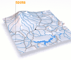 Places with similar names to Nduma, Kenya ::
Disclaimer :: Information on this page comes without warranty of any kind |
||
|
Where is Nduma? Elevation and coordinates ::
Latitude (lat): 0°34'0"S Longitude (lon): 37°3'0"E
Elevation (approx.): 1677m (map arrows pan, magnifying glasses zoom) |
||
|
Visiting Nduma? Hotel/Accommodation ::
Book a hotel in Nduma Travel Guide ::
Buy a travel guide for Kenya rental cars ::
car rental offers GPS waypoint ::
download a GPX waypoint (PoI) of Nduma for your GPS receiver
|
||