|
search place name
|
||
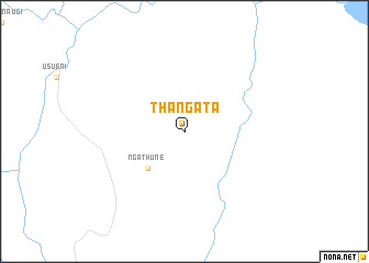
Thangata (Eastern, Kenya)Thangata is a town in the Eastern region of Kenya. An overview map of the region around Thangata is displayed below.
regional and 3d topo map of Thangata, Kenya ::
Thangata airports ::
The nearest airport is WIL - Nairobi Wilson, located 208.2 km south west of Thangata.
Other airports nearby include WJR - Wajir (291.1 km north east), Nearby towns ::
Ngathune (5.2km south west) //
[all distances 'as the bird flies' and approximate]  Places with similar names to Thangata, Kenya ::
// Thaungdaw (MM)
// Thanikudi (IN)
// Thengode (IN)
// Thanh Kiết (VN)
// Thôn Cà Ðú (VN)
// Thong Tau (VN)
// Thôn Cầu Ðá (VN)
// Thòng Dồ (VN)
// Thung Du (VN)
// Thānkot (NP)
Disclaimer :: Information on this page comes without warranty of any kind |
||
|
Where is Thangata? Elevation and coordinates ::
Latitude (lat): 0°12'0"S Longitude (lon): 38°19'0"E
Elevation (approx.): 557m (map arrows pan, magnifying glasses zoom) |
||
|
Visiting Thangata? Hotel/Accommodation ::
Book a hotel in Thangata Travel Guide ::
Buy a travel guide for Kenya rental cars ::
car rental offers GPS waypoint ::
download a GPX waypoint (PoI) of Thangata for your GPS receiver
|
||