|
search place name
|
||
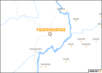
Fouramouanga (Ngounié, Gabon)Fouramouanga is a town in the Ngounié region of Gabon. An overview map of the region around Fouramouanga is displayed below.
regional and 3d topo map of Fouramouanga, Gabon ::
Fouramouanga airports ::
The nearest airport is LBQ - Lambarene, located 62.8 km north west of Fouramouanga.
Other airports nearby include OMB - Omboue Hospial Omboue Hopital (160.7 km west), POG - Port Gentil (213.9 km west), LBV - Libreville Leon M Ba (220.9 km north west), Nearby towns ::
Divangui (7.9km south west) //
Nengué Dioni (7.9km south west) //
Binda (8.3km south east) //
[all distances 'as the bird flies' and approximate] 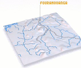 Places with similar names to Fouramouanga, Gabon ::
Disclaimer :: Information on this page comes without warranty of any kind |
||
|
Where is Fouramouanga? Elevation and coordinates ::
Latitude (lat): 1°7'0"S Longitude (lon): 10°38'0"E
Elevation (approx.): 144m (map arrows pan, magnifying glasses zoom) |
||
|
Visiting Fouramouanga? Hotel/Accommodation ::
Book a hotel in Fouramouanga Travel Guide ::
Buy a travel guide for Gabon rental cars ::
car rental offers GPS waypoint ::
download a GPX waypoint (PoI) of Fouramouanga for your GPS receiver
|
||