|
search place name
|
||
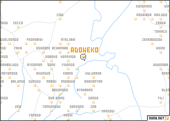
Adoweko (Ghana)Adoweko is a town in Ghana. An overview map of the region around Adoweko is displayed below.
regional and 3d topo map of Adoweko, Ghana ::
Adoweko airports ::
The nearest airport is TML - Tamale, located 156.7 km south of Adoweko.
Other airports nearby include OUA - Ouagadougou (176.2 km north west), LRL - Niatougou Niamtougou International (238.3 km south east), Nearby towns ::
Arabe (1.9km north) //
Kuliyawgo (2.6km south west) //
Kansinga (3.6km west) //
Abagamia (4.1km north west) //
Yidongo (4.1km south west) //
Akorisi (4.1km south west) //
Kulumasa (4.1km south east) //
Ayelibia (5.2km north west) //
Kabre (5.2km south west) //
Acharaba (5.8km west) //
Asakanyam (5.9km south) //
Asebuga (6.6km south west) //
Yelbissi (6.6km north west) //
Soboko (7.3km west) //
Ayambare (7.4km south) //
Adaboya (7.4km south) //
Sore (7.5km west) //
Akanaba (7.8km south west) //
Nabisi (9.2km south west) //
Bogorogo (9.2km south west) //
[all distances 'as the bird flies' and approximate] 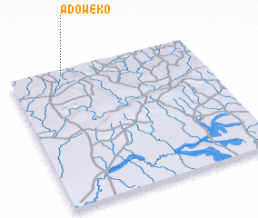 Places with similar names to Adoweko, Ghana ::
// Aït Wahkou (MA)
// Ad Dawaykah (EG)
// Adewuke (GH)
// Adwoki (UG)
// Ad Duwaykah (OM)
// Ādī Wekʼaʼī (ET)
// Atwick (GB)
// Ādī Weka (ET)
Disclaimer :: Information on this page comes without warranty of any kind |
||
|
Where is Adoweko? Elevation and coordinates ::
Latitude (lat): 10°58'0"N Longitude (lon): 0°43'0"W
Elevation (approx.): 222m (map arrows pan, magnifying glasses zoom) |
||
|
Visiting Adoweko? Hotel/Accommodation ::
Book a hotel in Adoweko Travel Guide ::
Buy a travel guide for Ghana rental cars ::
car rental offers GPS waypoint ::
download a GPX waypoint (PoI) of Adoweko for your GPS receiver
|
||