|
search place name
|
||
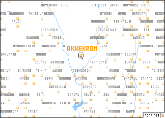
Akwekrom (Ghana)Akwekrom is a town in Ghana. An overview map of the region around Akwekrom is displayed below.
regional and 3d topo map of Akwekrom, Ghana ::
Akwekrom airports ::
The nearest airport is TKD - Takoradi, located 70.5 km south west of Akwekrom.
Other airports nearby include ACC - Accra Kotoka Intl (128.3 km east), Nearby towns ::
Nkwantanang (1.9km south) //
Nyamibechere (1.9km north) //
Anbobra (2.6km south east) //
Obokofikrom (2.6km north west) //
Otekukrom (3.7km south) //
Nyankumasi (4.1km south west) //
Oframoasi (4.1km north east) //
Ochireku (4.1km north east) //
Nyanidome (4.1km south east) //
Mpenkrom (5.2km north east) //
Yawanu (5.6km south) //
Asuansi (5.5km east) //
Papaja (5.9km south) //
Mangoasi Ekuto (5.8km east) //
Watreso (5.8km west) //
Ekaonidamfo (5.8km east) //
Nyamibebu (6.7km north east) //
Jukwa (6.7km south west) //
Jesikrom (6.7km north east) //
Sikaman (6.7km north west) //
Yakesi (6.7km north west) //
Aminasi (6.7km south west) //
Musunkwa (7.4km east) //
Esamang (7.6km south) //
Dabenda (7.6km west) //
Akrofrom (7.6km west) //
Nyamibechere (7.6km west) //
Nyamieni (7.6km west) //
Onsunyamiye (7.8km north east) //
[all distances 'as the bird flies' and approximate] 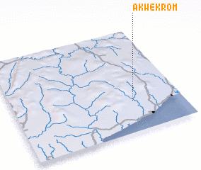 Places with similar names to Akwekrom, Ghana ::
// Akwakrom (GH)
Disclaimer :: Information on this page comes without warranty of any kind |
||
|
Where is Akwekrom? Elevation and coordinates ::
Latitude (lat): 5°18'0"N Longitude (lon): 1°17'0"W
Elevation (approx.): 88m (map arrows pan, magnifying glasses zoom) |
||
|
Visiting Akwekrom? Hotel/Accommodation ::
Book a hotel in Akwekrom Travel Guide ::
Buy a travel guide for Ghana rental cars ::
car rental offers GPS waypoint ::
download a GPX waypoint (PoI) of Akwekrom for your GPS receiver
|
||