|
search place name
|
||
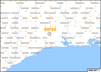
Anfeo (Ghana)Anfeo is a town in Ghana. An overview map of the region around Anfeo is displayed below.
regional and 3d topo map of Anfeo, Ghana ::
Anfeo airports ::
The nearest airport is TKD - Takoradi, located 86.9 km south west of Anfeo.
Other airports nearby include ACC - Accra Kotoka Intl (107.9 km north east), Nearby towns ::
Awuaya (0.0km north) //
Kete (2.6km south west) //
Afrengwa (2.6km north west) //
Saltpond (3.7km south) //
Krofu (3.7km north) //
Abonku (3.7km east) //
Great Kromanti High Town (4.1km south west) //
Abadzi (4.1km south west) //
Kuntu (4.1km south east) //
Ankaful (4.1km south east) //
Mpesedadi (4.1km north west) //
Krampakrom (4.1km north east) //
Ogokrom (5.5km west) //
Obokaw (5.6km north) //
Anumansa (5.5km west) //
Biden (5.5km east) //
Akrobadzi (5.8km west) //
Oboadzi (5.8km west) //
Eduafu (5.9km north) //
Great Kromanti Low Town (6.7km south west) //
Ejaa (6.7km south west) //
Eja (6.7km south west) //
Hini (6.7km south east) //
Agwetiabuom (6.7km north west) //
Agwetiakokro (6.7km north west) //
Mankesim (6.7km north east) //
Taidu (7.4km west) //
Afutuakwa (7.4km north) //
Jwenuabadzi (7.6km west) //
[all distances 'as the bird flies' and approximate] 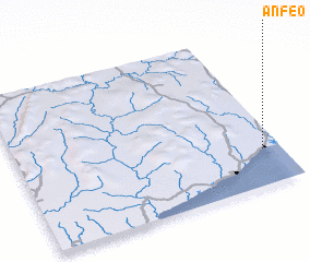 Places with similar names to Anfeo, Ghana ::
Disclaimer :: Information on this page comes without warranty of any kind |
||
|
Where is Anfeo? Elevation and coordinates ::
Latitude (lat): 5°14'0"N Longitude (lon): 1°4'0"W
Elevation (approx.): 70m (map arrows pan, magnifying glasses zoom) |
||
|
Visiting Anfeo? Hotel/Accommodation ::
Book a hotel in Anfeo Travel Guide ::
Buy a travel guide for Ghana rental cars ::
car rental offers GPS waypoint ::
download a GPX waypoint (PoI) of Anfeo for your GPS receiver
|
||