|
search place name
|
||
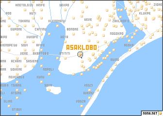
Asaklobo (Ghana)Asaklobo is a town in Ghana. An overview map of the region around Asaklobo is displayed below.
regional and 3d topo map of Asaklobo, Ghana ::
Asaklobo airports ::
The nearest airport is LFW - Lome Gnassingbe Eyadema Intl, located 30.9 km north east of Asaklobo.
Other airports nearby include ACC - Accra Kotoka Intl (138.3 km west), COO - Cotonou Cadjehoun (156.9 km east), Nearby towns ::
Avata (0.8km south) //
Glidza (1.8km east) //
Godobuneto (1.9km north) //
Akaglakofe (1.9km south) //
Zokotokofe (1.9km south) //
Srohume (2.0km east) //
Kpordorve (2.1km south) //
Avlato (2.7km east) //
Tsavanya (2.9km south) //
Afuta (2.9km east) //
Dogbekope (3.1km south east) //
Agotome (3.2km east) //
Milegbakope (3.6km south east) //
Tamaklokofe (3.7km south) //
Atititi (3.7km west) //
Datekope (4.1km south east) //
Afiadenyigba (4.1km south west) //
Afiadenyigbaga (4.1km south west) //
Wowekofe (4.1km south east) //
Kpohagakofe (4.1km north east) //
Biko (4.1km south east) //
Agbadikope (4.2km east) //
Tasikome (4.3km south east) //
Agblakope (4.3km north east) //
Sikor (4.5km east) //
Agbosome (4.6km north east) //
Sonuto (4.8km east) //
Wutortsikope (4.9km east) //
Kumadekope (5.1km east) //
[all distances 'as the bird flies' and approximate]  Places with similar names to Asaklobo, Ghana :: Disclaimer :: Information on this page comes without warranty of any kind |
||
|
Where is Asaklobo? Elevation and coordinates ::
Latitude (lat): 6°3'0"N Longitude (lon): 1°0'0"E
Elevation (approx.): 3m (map arrows pan, magnifying glasses zoom) |
||
|
Visiting Asaklobo? Hotel/Accommodation ::
Book a hotel in Asaklobo Travel Guide ::
Buy a travel guide for Ghana rental cars ::
car rental offers GPS waypoint ::
download a GPX waypoint (PoI) of Asaklobo for your GPS receiver
|
||