|
search place name
|
||
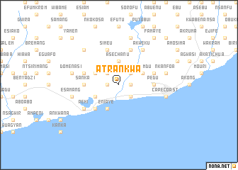
Atrankwa (Ghana)Atrankwa is a town in Ghana. An overview map of the region around Atrankwa is displayed below.
regional and 3d topo map of Atrankwa, Ghana ::
Atrankwa airports ::
The nearest airport is TKD - Takoradi, located 56.4 km south west of Atrankwa.
Other airports nearby include ACC - Accra Kotoka Intl (138.4 km north east), Nearby towns ::
Nkuntraudu (1.8km west) //
Kwapro (1.8km east) //
Ntraunua (2.6km north west) //
Akotochir (2.6km north east) //
Apeosika (2.6km south east) //
Ahinbuboi (2.6km south east) //
Asechanu (3.7km north) //
Amisano (4.1km north west) //
Brunibuma (4.1km south west) //
Eniaye (4.1km south west) //
Kakumdu (4.1km north east) //
Elmina (5.2km south west) //
Sanka (5.5km west) //
Pedu (5.5km east) //
Adisadel (5.5km east) //
Amoana (5.8km west) //
Aburankwanta (5.8km east) //
Simeu (5.9km north) //
Kwansimakrom (5.9km north) //
Pehi (6.7km south west) //
Gwira Achinum (6.7km south west) //
Bantuma (6.7km south west) //
Akweku (6.7km north east) //
Domenasi (7.6km west) //
Esamang (7.6km west) //
Brimbrimso (7.6km north) //
Nkanfoa (7.6km east) //
Cape Coast (7.6km east) //
Kwantumabre (7.8km north west) //
[all distances 'as the bird flies' and approximate] 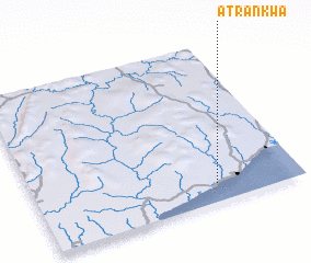 Places with similar names to Atrankwa, Ghana :: Disclaimer :: Information on this page comes without warranty of any kind |
||
|
Where is Atrankwa? Elevation and coordinates ::
Latitude (lat): 5°7'0"N Longitude (lon): 1°19'0"W
Elevation (approx.): 14m (map arrows pan, magnifying glasses zoom) |
||
|
Visiting Atrankwa? Hotel/Accommodation ::
Book a hotel in Atrankwa Travel Guide ::
Buy a travel guide for Ghana rental cars ::
car rental offers GPS waypoint ::
download a GPX waypoint (PoI) of Atrankwa for your GPS receiver
|
||