|
search place name
|
||
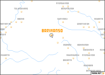
Barimanso (Ghana)Barimanso is a town in Ghana. An overview map of the region around Barimanso is displayed below.
regional and 3d topo map of Barimanso, Ghana ::
Barimanso airports ::
The nearest airport is TKD - Takoradi, located 94.8 km south east of Barimanso.
Other airports nearby include ABJ - Abidjan Felix Houphouet Boigny Intl (158.4 km west), Nearby towns ::
Dajwin (2.6km south east) //
Kwakumensakrom (3.7km east) //
Asamasi (6.7km south east) //
Sunyinasi (6.7km north east) //
Nhwinisuraw (10.5km south east) //
[all distances 'as the bird flies' and approximate] 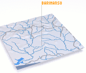 Places with similar names to Barimanso, Ghana ::
// Bremnes (NO)
// Bremnes (NO)
// Bremnes (NO)
// Brimnes (NO)
// Burey Mannas (SO)
// Burey Mannas (SO)
// Burey Mannas (SO)
// Bramans (FR)
// Barra Mansa (BR)
// Bremnes (NO)
Disclaimer :: Information on this page comes without warranty of any kind |
||
|
Where is Barimanso? Elevation and coordinates ::
Latitude (lat): 5°21'0"N Longitude (lon): 2°30'0"W
Elevation (approx.): 105m (map arrows pan, magnifying glasses zoom) |
||
|
Visiting Barimanso? Hotel/Accommodation ::
Book a hotel in Barimanso Travel Guide ::
Buy a travel guide for Ghana rental cars ::
car rental offers GPS waypoint ::
download a GPX waypoint (PoI) of Barimanso for your GPS receiver
|
||