|
search place name
|
||
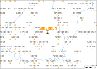
Birekrom (Ghana)Birekrom is a town in Ghana. An overview map of the region around Birekrom is displayed below.
regional and 3d topo map of Birekrom, Ghana ::
Birekrom airports ::
The nearest airport is TKD - Takoradi, located 125.4 km south of Birekrom.
Other airports nearby include ACC - Accra Kotoka Intl (165.1 km east), NYI - Sunyani (169.2 km north west), Nearby towns ::
Abepim (0.0km north) //
Subinso (1.9km north) //
Senikrom (1.9km north) //
Mensakrom (2.6km north west) //
Mensawnso (3.7km east) //
Jamsidie (3.7km west) //
Nbinhimeni (4.1km north west) //
Yensia (4.1km south east) //
Wuratrim (4.1km south west) //
Abem (5.2km north east) //
Amoakukrom (5.2km north east) //
Manesuso (5.2km south west) //
Kwekudompokrom (5.2km south east) //
Abojiemiye (5.5km west) //
Yantoakrom (5.5km east) //
Grumesa (5.9km south) //
Pepe (5.9km south) //
Ochereso (5.8km west) //
Petichi (6.7km south west) //
Mawjiso (6.7km north east) //
Funtumasi (6.7km north east) //
Nkankasi (6.7km south west) //
Esasi (7.6km south) //
Mensa (7.6km east) //
Kofikrom (8.3km north east) //
Yadomi (8.3km north west) //
Aduposo (8.3km north east) //
Nsutem (8.3km south east) //
Mensa (8.3km south east) //
[all distances 'as the bird flies' and approximate] 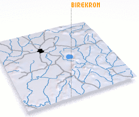 Places with similar names to Birekrom, Ghana ::
Disclaimer :: Information on this page comes without warranty of any kind |
||
|
Where is Birekrom? Elevation and coordinates ::
Latitude (lat): 6°1'0"N Longitude (lon): 1°36'0"W
Elevation (approx.): 165m (map arrows pan, magnifying glasses zoom) |
||
|
Visiting Birekrom? Hotel/Accommodation ::
Book a hotel in Birekrom Travel Guide ::
Buy a travel guide for Ghana rental cars ::
car rental offers GPS waypoint ::
download a GPX waypoint (PoI) of Birekrom for your GPS receiver
|
||