|
search place name
|
||
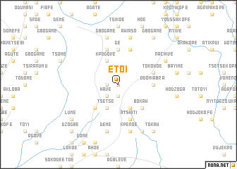
Etoi (Ghana)Etoi is a town in Ghana. An overview map of the region around Etoi is displayed below.
regional and 3d topo map of Etoi, Ghana ::
Etoi airports ::
The nearest airport is LFW - Lome Gnassingbe Eyadema Intl, located 102.3 km south east of Etoi.
Other airports nearby include ACC - Accra Kotoka Intl (141.8 km south west), COO - Cotonou Cadjehoun (211.8 km east), Nearby towns ::
Aingbe (0.0km north) //
Atidje (0.0km north) //
Tsife (1.8km west) //
Djeve (1.8km west) //
Begbi (1.8km west) //
Zawe (1.9km south) //
Have (2.6km south west) //
Aviefe (4.1km south west) //
Tsetse (4.1km south west) //
Kpodove (4.1km north west) //
Avenwi (4.1km south east) //
Bokaw (5.2km south east) //
Avenya (5.2km south west) //
Dzefe (5.2km south west) //
Ge (5.6km north) //
Odomiabra (5.5km east) //
Akovief (5.9km north) //
Atsame (5.9km north) //
Atsiati (5.9km south) //
Tokokoe (5.8km east) //
Kpenoe (7.6km south) //
Gbogame (7.6km north) //
Deme (7.6km south) //
Awiaso (7.6km north) //
Takla (8.3km south east) //
Nachive (8.2km north east) //
Tokaw (9.2km south east) //
Gbogame (9.2km north east) //
Lume (9.2km south west) //
[all distances 'as the bird flies' and approximate] 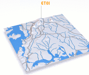 Places with similar names to Etoi, Ghana ::
Disclaimer :: Information on this page comes without warranty of any kind |
||
|
Where is Etoi? Elevation and coordinates ::
Latitude (lat): 6°42'0"N Longitude (lon): 0°30'0"W
Elevation (approx.): 373m (map arrows pan, magnifying glasses zoom) |
||
|
Visiting Etoi? Hotel/Accommodation ::
Book a hotel in Etoi Travel Guide ::
Buy a travel guide for Ghana rental cars ::
car rental offers GPS waypoint ::
download a GPX waypoint (PoI) of Etoi for your GPS receiver
|
||