|
search place name
|
||
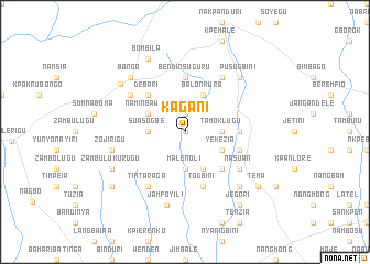
Kagani (Ghana)Kagani is a town in Ghana. An overview map of the region around Kagani is displayed below.
regional and 3d topo map of Kagani, Ghana ::
Kagani airports ::
The nearest airport is TML - Tamale, located 129.2 km south west of Kagani.
Other airports nearby include LRL - Niatougou Niamtougou International (166.5 km south east), OUA - Ouagadougou (246.0 km north west), Nearby towns ::
Chakotinge (0.0km north) //
Barelawn (1.9km north) //
Suasogbe (3.6km west) //
Gulugu (3.7km south) //
Malenoli (3.7km south) //
Tamoklugu (3.6km east) //
Naminbawku (4.1km north west) //
Malenoli (4.1km south east) //
Yekezia (4.1km south east) //
Balonkura (4.1km north east) //
Debari (5.2km north west) //
Tamakurugu (5.2km south east) //
Bendinsuguru (5.6km north) //
Sanfusi (5.5km east) //
Nasuan (5.8km east) //
Togbini (5.9km south) //
Nasuan (6.6km south east) //
Tintaraga (6.6km south west) //
Nyalinkpe (6.6km north east) //
Dindane (6.6km north west) //
Zojirigu (7.5km west) //
Jamfoyili (7.6km south) //
Bango (7.8km north west) //
Pusugbini (7.8km north east) //
Bunbon (7.8km south east) //
Sakogu (8.1km north west) //
Zambulukurugu (8.2km south west) //
Tichirigitaba (8.2km south west) //
Bombila (8.3km north west) //
[all distances 'as the bird flies' and approximate] 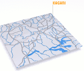 Places with similar names to Kagani, Ghana ::
Disclaimer :: Information on this page comes without warranty of any kind |
||
|
Where is Kagani? Elevation and coordinates ::
Latitude (lat): 10°32'0"N Longitude (lon): 0°13'0"W
Elevation (approx.): 308m (map arrows pan, magnifying glasses zoom) |
||
|
Visiting Kagani? Hotel/Accommodation ::
Book a hotel in Kagani Travel Guide ::
Buy a travel guide for Ghana rental cars ::
car rental offers GPS waypoint ::
download a GPX waypoint (PoI) of Kagani for your GPS receiver
|
||