|
search place name
|
||
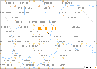
Kokotintin (Ghana)Kokotintin is a town in Ghana. An overview map of the region around Kokotintin is displayed below.
regional and 3d topo map of Kokotintin, Ghana ::
Kokotintin airports ::
The nearest airport is ACC - Accra Kotoka Intl, located 127.7 km east of Kokotintin.
Other airports nearby include TKD - Takoradi (135.2 km south west), NYI - Sunyani (192.1 km north west), Nearby towns ::
Konkromaso (1.8km east) //
Ajenasi (1.9km south) //
Adintiasi (2.6km south east) //
Kaotrihue (3.7km west) //
Aboabo (4.1km north west) //
Cherebuana (4.1km south west) //
Nchata (4.1km north east) //
Faohiakawbaw (4.1km south west) //
Krohodi (4.1km south east) //
Asamang (5.2km south east) //
Adahumasi (5.2km south west) //
Nyinesin (5.5km west) //
Konkromasi (5.9km south) //
Asuenyum (5.8km west) //
Prasu (6.7km south east) //
Soro (6.7km south west) //
Kuntrasi (6.7km north west) //
Wawasi (6.7km south east) //
Krobodi (7.6km east) //
Asuminem (7.8km south west) //
Asamangma (8.3km south west) //
Kafodidi (8.3km south west) //
Wuriyiye (8.3km south west) //
Pawudu (9.2km north east) //
Oshiansheda (10.5km north east) //
Ajenasi (10.5km south east) //
[all distances 'as the bird flies' and approximate] 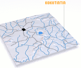 Places with similar names to Kokotintin, Ghana ::
// Kokotintin (GH)
// Kokotintin (GH)
Disclaimer :: Information on this page comes without warranty of any kind |
||
|
Where is Kokotintin? Elevation and coordinates ::
Latitude (lat): 6°0'0"N Longitude (lon): 1°15'0"W
Elevation (approx.): 110m (map arrows pan, magnifying glasses zoom) |
||
|
Visiting Kokotintin? Hotel/Accommodation ::
Book a hotel in Kokotintin Travel Guide ::
Buy a travel guide for Ghana rental cars ::
car rental offers GPS waypoint ::
download a GPX waypoint (PoI) of Kokotintin for your GPS receiver
|
||