|
search place name
|
||
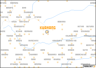
Kwamang (Ghana)Kwamang is a town in Ghana. An overview map of the region around Kwamang is displayed below.
regional and 3d topo map of Kwamang, Ghana ::
Kwamang airports ::
The nearest airport is NYI - Sunyani, located 123.5 km west of Kwamang.
Other airports nearby include ACC - Accra Kotoka Intl (194.8 km south east), Nearby towns ::
Pepiasi (0.0km north) //
Oboechi (1.8km west) //
Brepaw (2.6km north east) //
Drobongma (2.6km north west) //
Kawkawbo (5.2km south east) //
Kwabenaponsakrom (5.8km east) //
Adenyensu (5.8km east) //
Bobinasi (6.6km north east) //
Atonso (6.7km north west) //
Akrochire (6.6km south west) //
Kumawu (7.4km south) //
Bepawso (7.4km west) //
Wono (7.6km south) //
Akosua (7.8km south east) //
Bawjwiasi (7.8km south west) //
Timanti (7.8km south east) //
Dida (9.2km north west) //
Abidimisebi (9.2km south east) //
Ananso (9.2km north west) //
Chebi (9.2km north west) //
Nkwabirim (10.4km north west) //
Mpantuasi (10.4km north west) //
Asecherewa (10.4km south west) //
[all distances 'as the bird flies' and approximate] 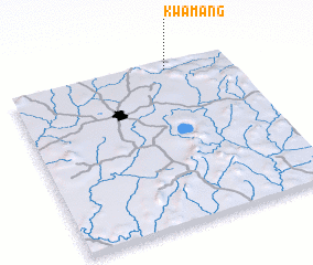 Places with similar names to Kwamang, Ghana ::
Disclaimer :: Information on this page comes without warranty of any kind |
||
|
Where is Kwamang? Elevation and coordinates ::
Latitude (lat): 6°58'0"N Longitude (lon): 1°17'0"W
Elevation (approx.): 490m (map arrows pan, magnifying glasses zoom) |
||
|
Visiting Kwamang? Hotel/Accommodation ::
Book a hotel in Kwamang Travel Guide ::
Buy a travel guide for Ghana rental cars ::
car rental offers GPS waypoint ::
download a GPX waypoint (PoI) of Kwamang for your GPS receiver
|
||