|
search place name
|
||
Lonwiri (Ghana)Lonwiri is a town in Ghana. An overview map of the region around Lonwiri is displayed below.
regional and 3d topo map of Lonwiri, Ghana ::

Lonwiri airports ::
The nearest airport is TML - Tamale, located 108.3 km south west of Lonwiri.
Other airports nearby include LRL - Niatougou Niamtougou International (163.9 km south east), Nearby towns ::
Dareba (0.0km north) //
Tangbini (1.9km north) //
Bongo-Da (2.6km south east) //
Binduri (3.7km south) //
Zikeya (3.7km north) //
Nambi (4.1km south east) //
Lapliki (4.1km south east) //
Bandali (4.1km south east) //
Nakpenyeraga (5.6km south) //
Achinayili (5.6km north) //
Bindanacho (5.9km north) //
Sihene (5.8km west) //
Peregon (5.8km west) //
Jimbale (5.8km east) //
Kolinva (5.9km north) //
Bongodabila (6.6km south east) //
Moziogo (6.6km south west) //
Mangba (6.6km north east) //
Nachiam (6.6km north east) //
Wangao (7.3km east) //
Binduri (7.4km north) //
Kregeto (7.6km south) //
Yeregu (7.8km south west) //
Katanbule (7.8km south east) //
Dabadini (7.8km north west) //
Bampaha (7.8km north east) //
Gbonkukuo (8.2km south east) //
Ngnani (8.2km south east) //
Jawani (8.2km north west) //
[all distances 'as the bird flies' and approximate] 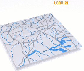
Disclaimer :: Information on this page comes without warranty of any kind |
||
|
Where is Lonwiri? Elevation and coordinates ::
Latitude (lat): 10°21'0"N Longitude (lon): 0°17'0"W
Elevation (approx.): 167m (map arrows pan, magnifying glasses zoom) |
||
|
Visiting Lonwiri? Hotel/Accommodation ::
Book a hotel in Lonwiri Travel Guide ::
Buy a travel guide for Ghana rental cars ::
car rental offers GPS waypoint ::
download a GPX waypoint (PoI) of Lonwiri for your GPS receiver
|
||