|
search place name
|
||
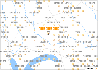
Nabansong (Ghana)Nabansong is a town in Ghana. An overview map of the region around Nabansong is displayed below.
regional and 3d topo map of Nabansong, Ghana ::
Nabansong airports ::
The nearest airport is TML - Tamale, located 120.1 km south west of Nabansong.
Other airports nearby include LRL - Niatougou Niamtougou International (149.7 km south east), OUA - Ouagadougou (266.4 km north west), Nearby towns ::
Latele (1.8km east) //
Furel (2.6km south east) //
Kunfore (2.6km south east) //
Nanguna (2.6km south west) //
Nangamgban (3.6km east) //
Gbadoli (3.6km east) //
Nanganinyaga (4.1km north east) //
Gbadoli (4.1km south east) //
Ladam (4.1km south east) //
Kokuruge (4.1km north west) //
Kpetinga (4.1km south east) //
Kome (4.1km north west) //
Gogonga (4.1km south west) //
Dobinyetaw (5.2km north east) //
Tamoaye (5.5km east) //
Nangmong (5.6km north) //
Pwalagu (5.9km south) //
Kparugu (5.9km south) //
Nyeregbini (5.8km east) //
Duboni (5.8km west) //
Jagogo (5.9km south) //
Djagugu (5.9km south) //
Nadukawn (5.8km east) //
Kutong (5.8km west) //
Mienbla (6.6km south west) //
Wabuguli (6.6km south east) //
Nabal (7.3km east) //
Kpalsako (7.4km south) //
Nadjon (7.6km south) //
[all distances 'as the bird flies' and approximate] 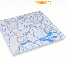 Places with similar names to Nabansong, Ghana :: Disclaimer :: Information on this page comes without warranty of any kind |
||
|
Where is Nabansong? Elevation and coordinates ::
Latitude (lat): 10°22'0"N Longitude (lon): 0°8'0"W
Elevation (approx.): 192m (map arrows pan, magnifying glasses zoom) |
||
|
Visiting Nabansong? Hotel/Accommodation ::
Book a hotel in Nabansong Travel Guide ::
Buy a travel guide for Ghana rental cars ::
car rental offers GPS waypoint ::
download a GPX waypoint (PoI) of Nabansong for your GPS receiver
|
||